Puna de Atacama Road Trip: Our 6-Day Itinerary in a 2WD Van in Northwest Argentina (April 2026)
Some places impress us not only with their beauty but also with how hard they are to reach. Our Puna de Atacama roadtrip is a perfect example. Nothing had prepared us for such a trip, and yet crossing the desert naturally imposed itself on us.
We chose it because it was off the beaten tracks: 400 miles of dirt roads with little mobile coverage, little resupply and a good dose of uncertainty. We chose it because it was intimidating. We chose it because it forced us out of our comfort zone. And we would do il all over again.
In this guide, we share our itinerary with an interactive map, the places that left the deepest impression on us, our experience in a 2WD Toyota Hiace, and the information we wish we had had before setting off. This information is based on our trip in April 2026.
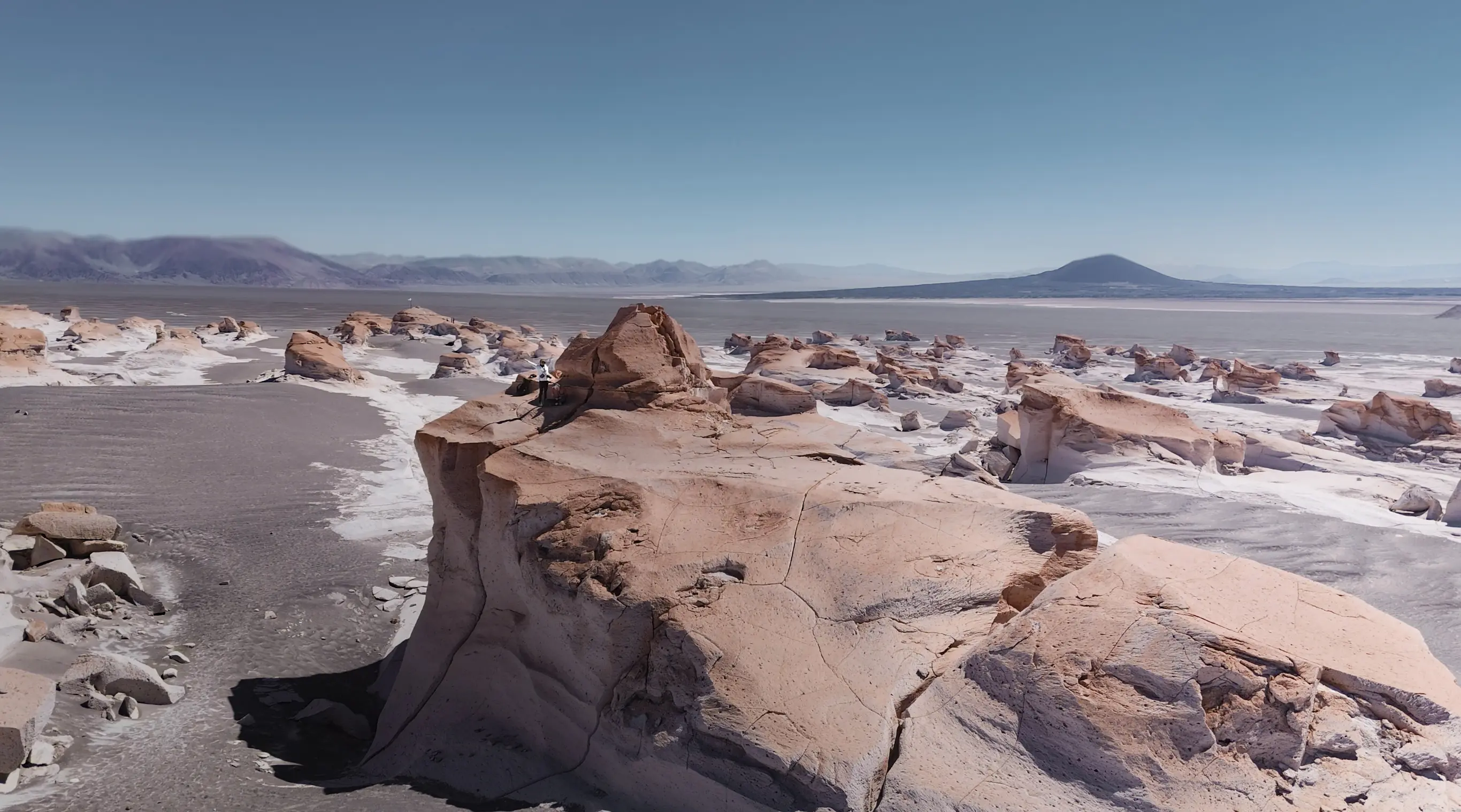
Table of contents
Key takeaways
Duration: 6 days
Distance: about 400 miles of dirt tracks
Vehicle: 2WD Toyota Hiace
Starting point: El Eje
End point: San Antonio de los Cobres
Altitude: about 3,800 to 4,800 m
Phone: very limited mobile coverage
Budget: about $457 for two people
Period: April 2026
Excursions: two 4x4 excursions ($200 for two)
Fuel: about $120 for 400 miles*Source: PUNA | Geography - Universalis Encyclopedia
What Is the Puna de Atacama and Where Is It?
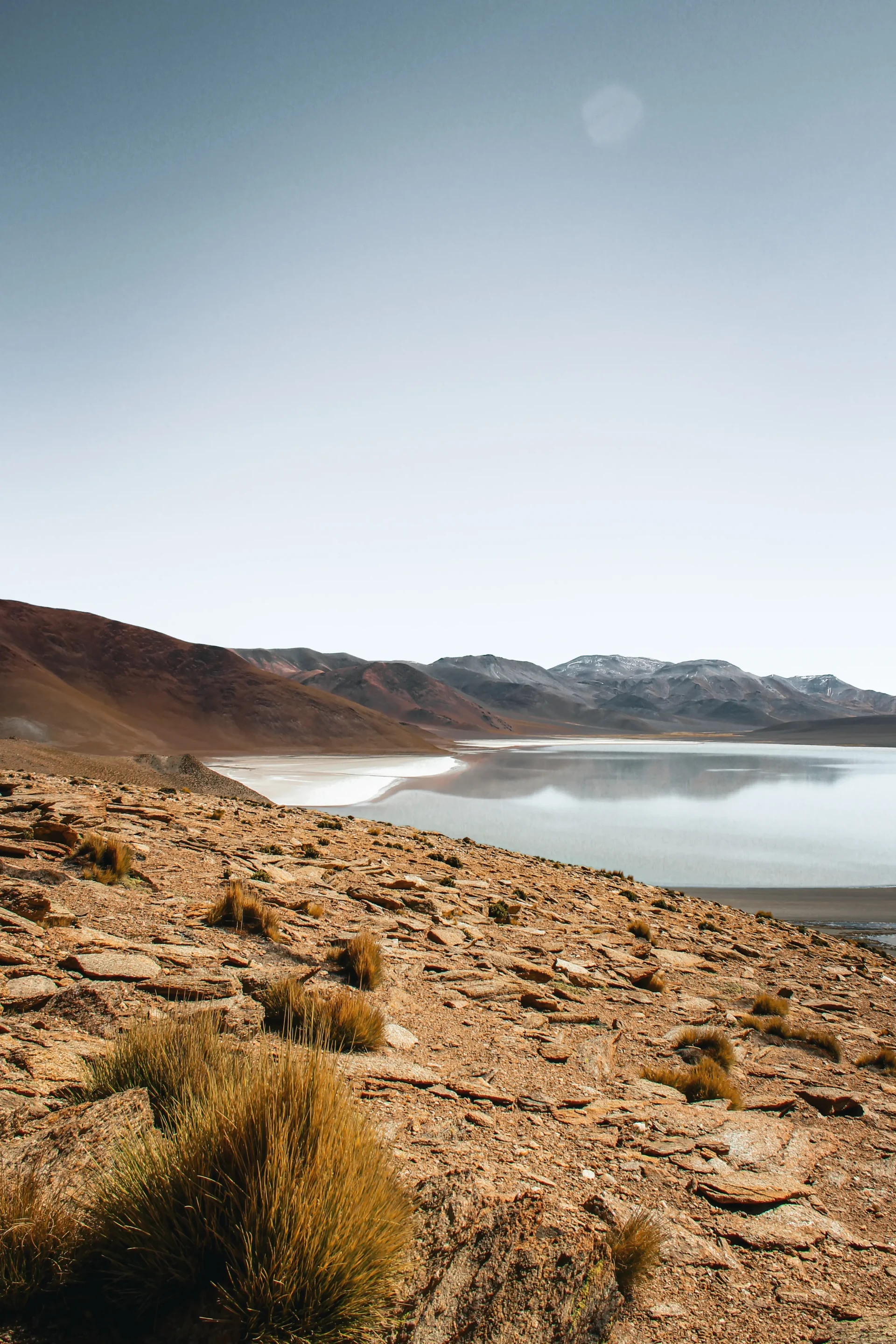
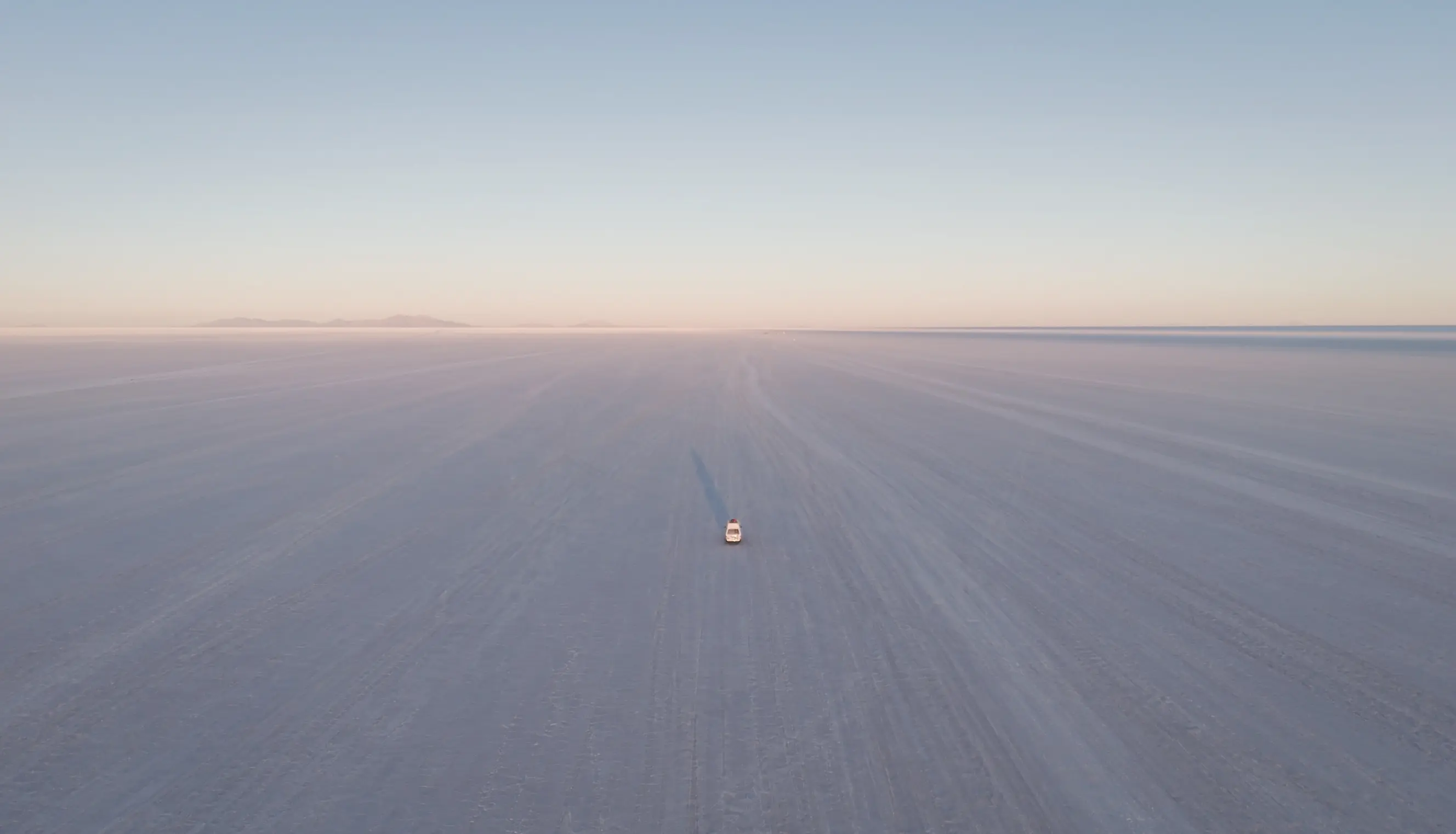
The Argentine Puna lies in the argentinian Andes. It straddles three provinces: Salta, Catamarca and Jujuy. It has a lot in common with the Atacama Desert in Chile and the South Lípez in Bolivia. On this subject, see also the article of our night on the Uyuni salt flats in Bolivia.
Less touristy than the Atcama Desert or the South Lípez, it is a high altitude and arid region. The tracks accessible by car can go up to 7,000 metres. It is common to witness large temperature swings between day and night. You therefore need to prepare for very different conditions within a single day.
Conditions can vary between sectors of the Puna. It is therefore important to check the weather and the state of the tracks before setting off.
The austral seasons
Austral summer: December to February
Austral autumn: March to May
Austral winter: June to August
Austral spring: September to November
Rainy season: November to March
Dry season: April to October
Why we chose to cross the Puna
When visiting the region, we had two options. The first was to take a popular road leading to Salta. The second was to leave the beaten tracks and set off on a crossing of more than 400 miles of dirt tracks, requiring self-sufficiency and preparation.
We chose the second option. From that point on, our journey took on another dimension. We had to move forward with the information we had, plan our route, manage our fuel, and accept that we would not always know exactly what awaited us beyond the next track. It was this element of uncertainty that we particularly enjoyed.
The Puna will remain one of the most memorable experiences of our trip.
Our 6-Day Puna de Atacama Itinerary
We crossed the Puna from south to north. A few miles after the town of El Eje, leave the legendary Ruta 40 and begin a slow climb along Ruta 43 (Google Maps coordiantes here) towards Villa Vil and El Peñon. This first 93-mile section is paved, but the landscapes change completely. After El Peñon, continue to Antofagasta de la Sierra on the last stretch of asphalt.
Our downloadable Route Map
- Day 1: El Eje to El Peñón - 93 miles - asphalt - 3 h
- Day 2: stay in El Peñón and a 4x4 tour
- Day 3: El Peñón to Antofagasta de la Sierra - 37 miles - asphalt - 2 h
- Day 4: Antofagasta de la Sierra to Antofalla - 48 miles - dirt tracks - 4 h
- Day 5: Antofalla to Tolar Grande - 93 miles - dirt tracks - 8 h
- Day 6: Tolar Grande to San Antonio de los Cobres - 120 miles - dirt tracks - 12 h
In the Puna, distance is not relevant. 120 miles can easily take up a whole day.
Day 4 - From Antofagasta de la Sierra to Antofalla
From Antofagasta onwards, the asphalt ends and gives way to dirt tracks of varying quality. Our desert crossing begins. We are anxious and excited at the same time. We trust our van, but it is old, and the fear of a breakdown in a remote region is real.
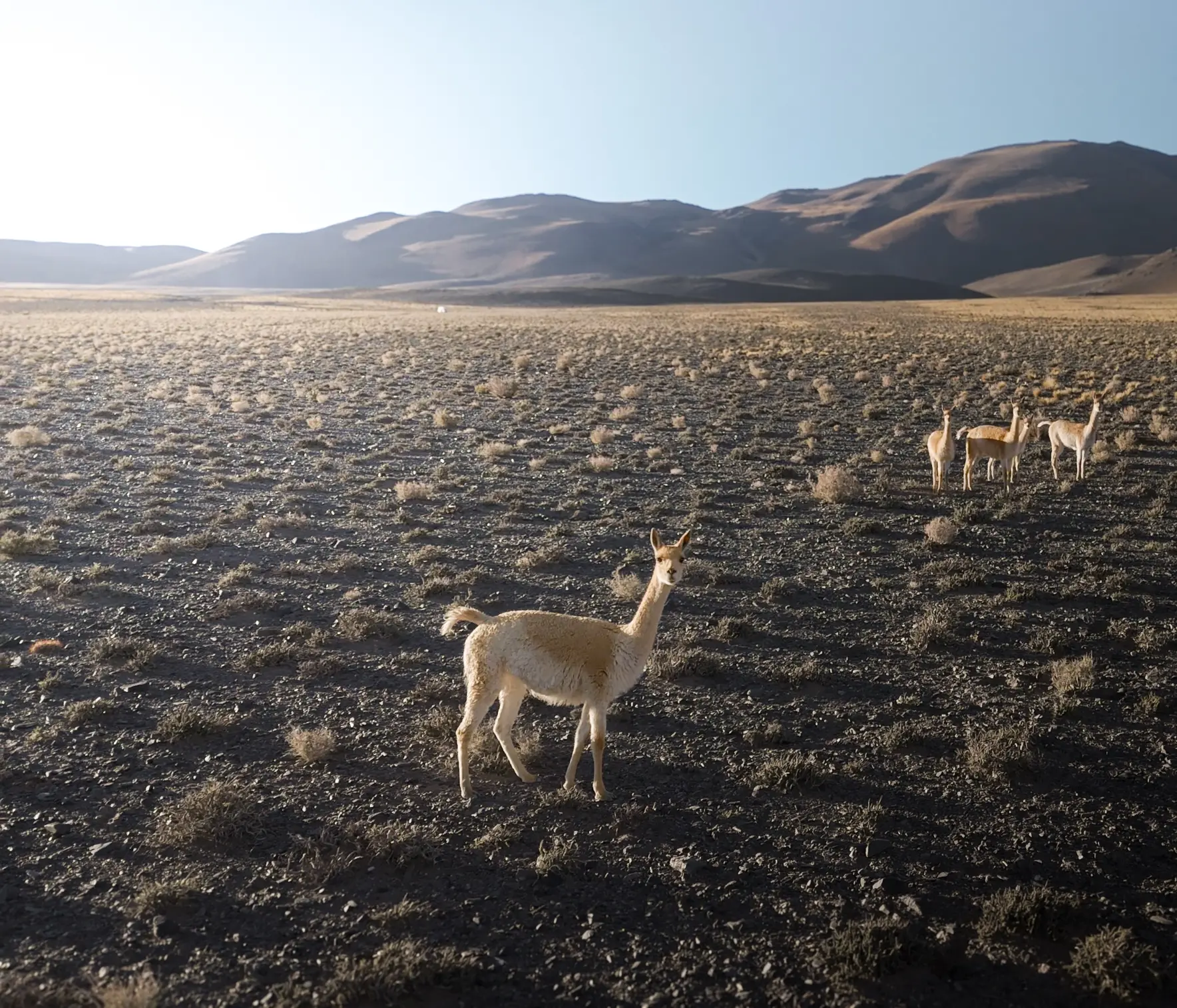
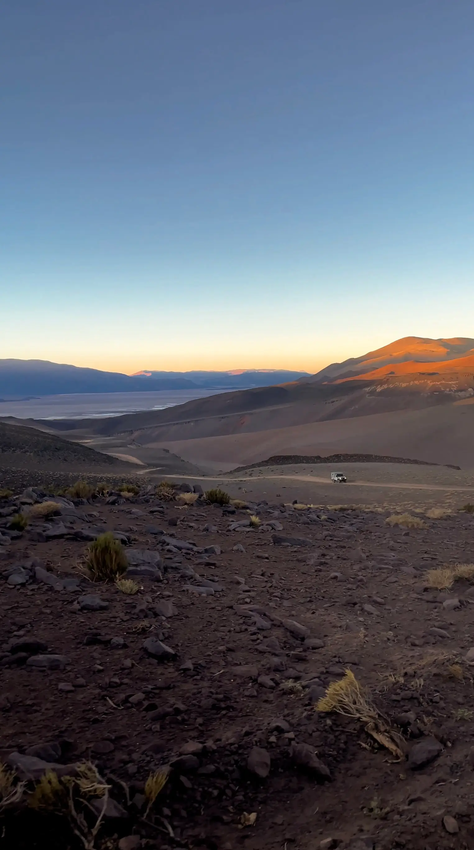
When we left the asphalt behind, we felt something strange. A risk being taken. A knot in the stomach. It is the feeling of facing uncertainty, of preparing yourself mentally for the unknown. Suddenly, we find ourselves alone. The roads are empty, and we only meet herds of vicuñas. Perhaps a mix of freedom and isolation.
Leaving Antofagasta, there are two options: contining northeast on Ruta 43 towards the Salar del Hombre Muerto, or taking an alternative track towards the Salar de Antofalla via Ruta 44 (track starts here). We chose the second option, a 48-mile stretch of track to reach an enormous salar* and the village of Antofalla.
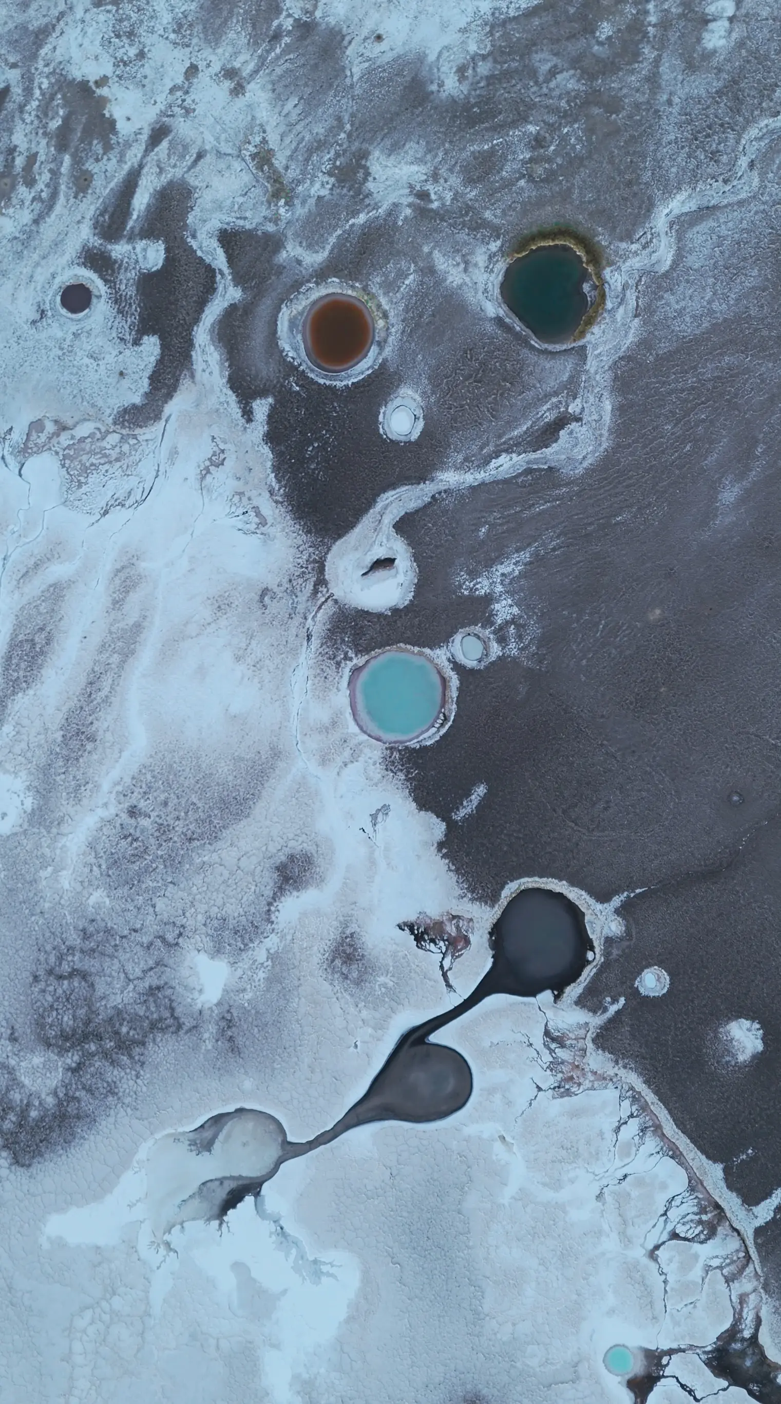
*What is a salar? A salar is a salt desert: a flat expanse covered with a crust of salt. It is in fact a dried-up, flat-bottomed lake. Some salars are periodically flooded during the rainy season, like the Salar de Uyuni in Bolivia. They sometimes have special features: coloured pools filled with salt water, geysers, and primitive forms of life.
Day 5 - From Antofalla to Tolar Grande
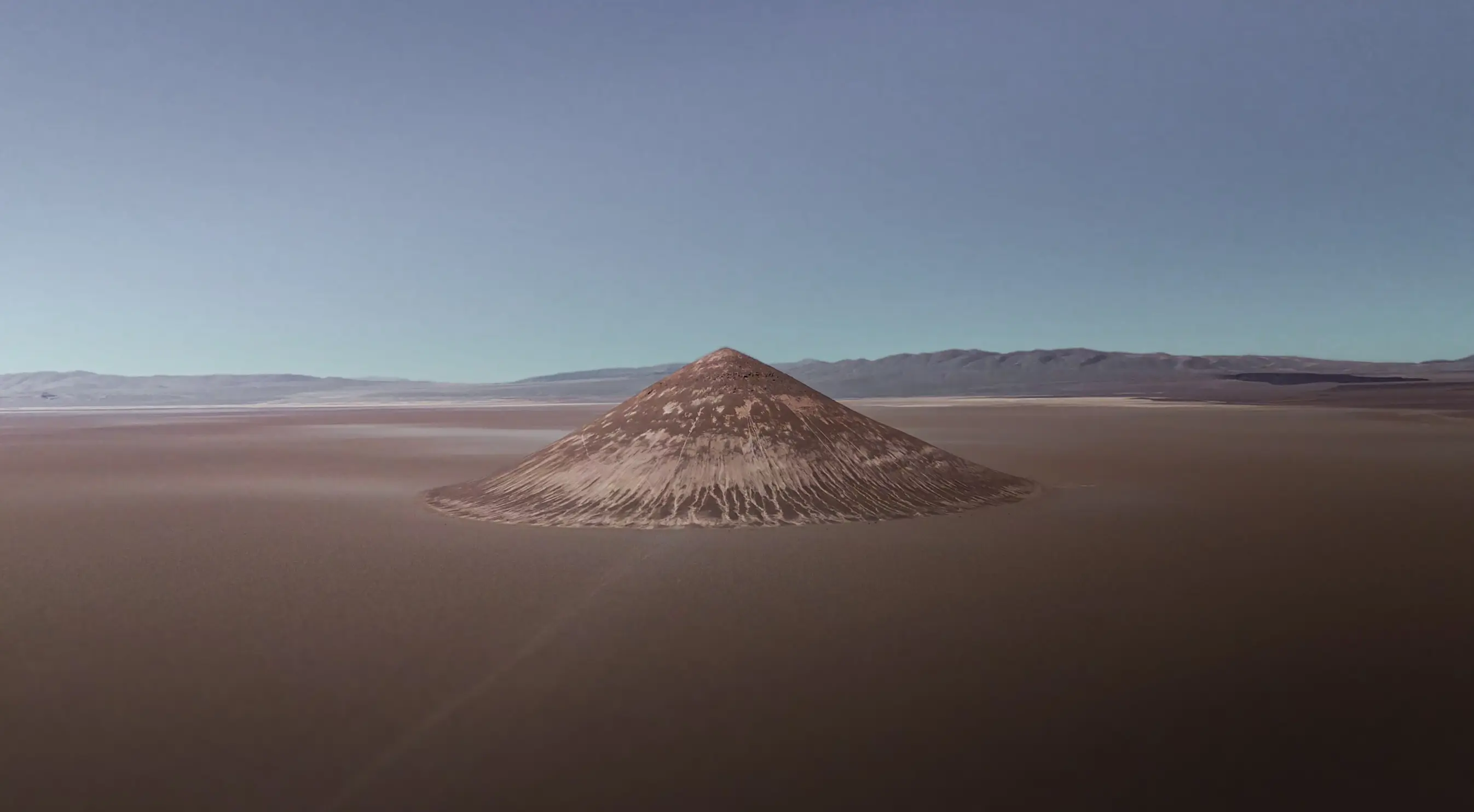
Leaving Antofalla, we took a track heading north that skirts Cerro Tebenquicho on its western flank. This track leads to Arizaro and its famous Cono de Arita.
We were lucky enough to have breakfast with an unbeatable view of the volcano. It is in moments like this that you realise how isolated these lands are, and how lucky we were to travel through them.
After crossing this salar, we stopped to resupply in Tolar Grande, nearly 93 miles after Antofalla. The track is relatively good as far as the Salar, then becomes noticeably harder. We sometimes moved along at only 12 miles per hour, with plenty of jolts.
Day 6 - From Tolar Grande to San Antonio de los Cobres
From Tolar Grande, take Ruta 27 to cross the Desierto del Diablo and then the Salar de Pocitos. After a few miles, join Ruta 51, which leads to San Antonio de los Cobres.
This stretch was the hardest of our whole route. Small ripples form on the track under the effect of the wind and passing trucks. Driving becomes very slow and particularly uncomfortable. San Antonio marked the end of the desert crossing.
We had planned to push on to the Salinas Grandes, but the tracks had got the better of our courage. We finally chose to head to Salta on the paved road.
The Best Places Along the Route
The Puna is full of very different landscapes. Here are the ones that left the deepest impression on us.
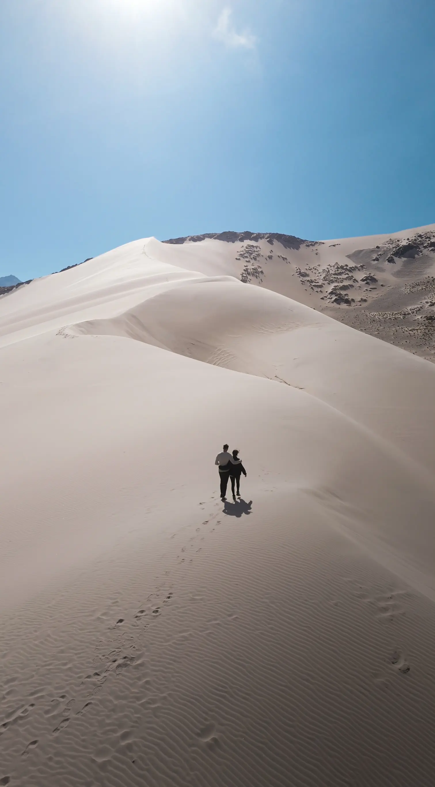
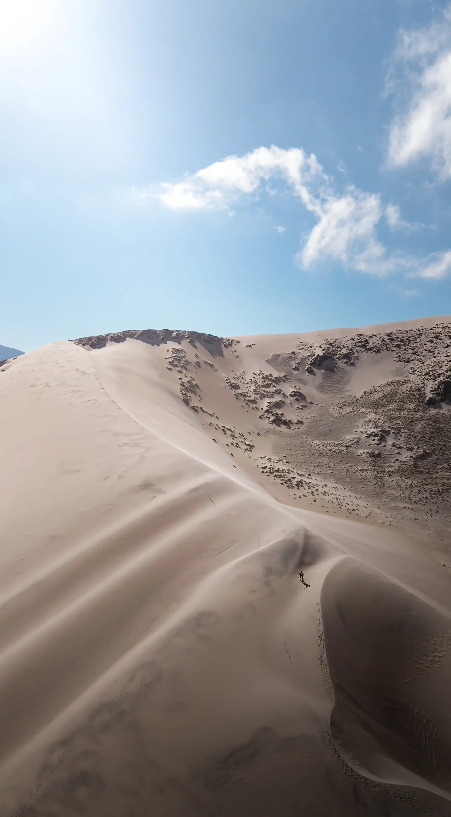
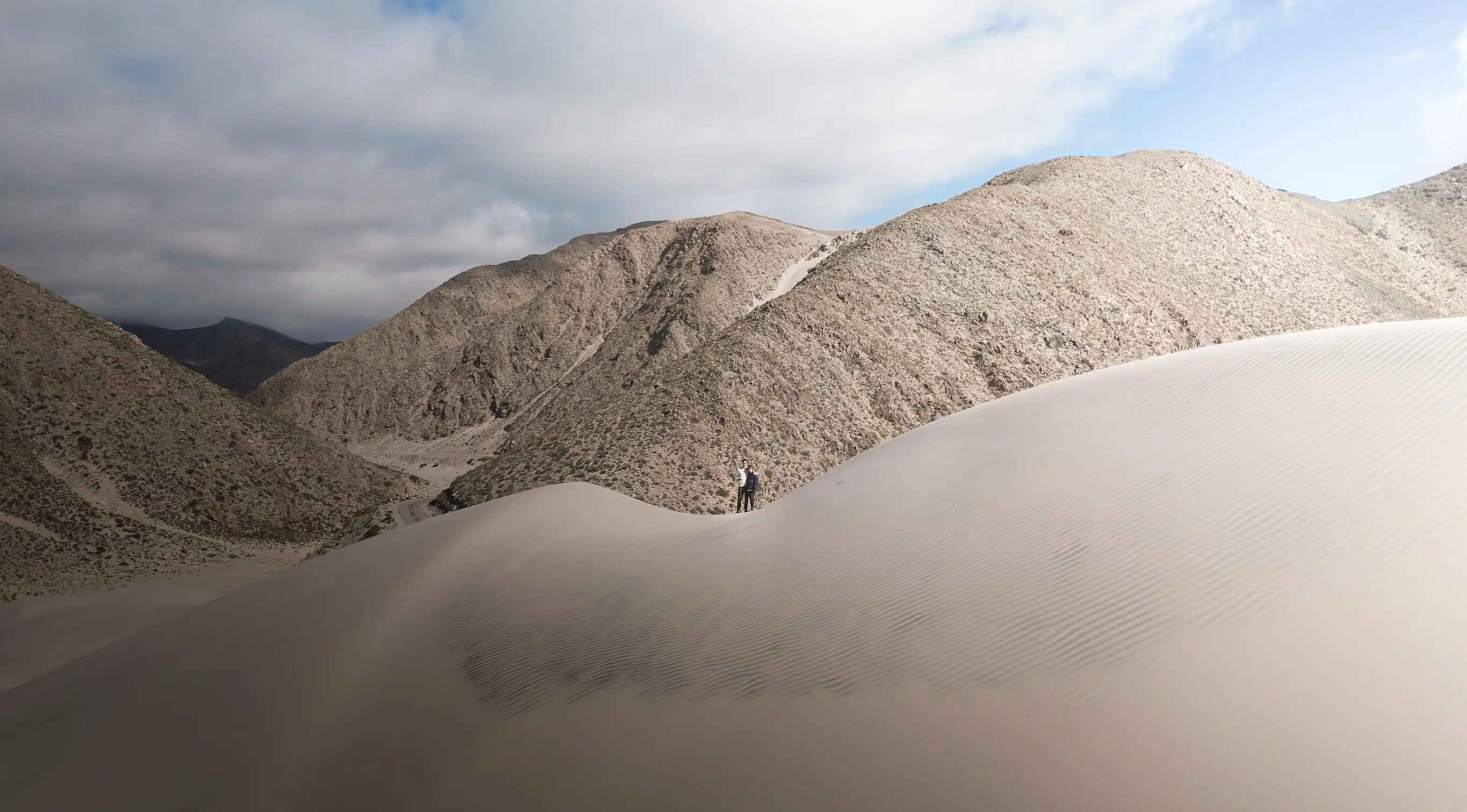
Dunas de Randolfo. A sand dune in the middle of the Puna’s desert landscapes. You can walk along its crest with the mountains on the horizon. The wind, the sun and the sand give the place a very special atmosphere.
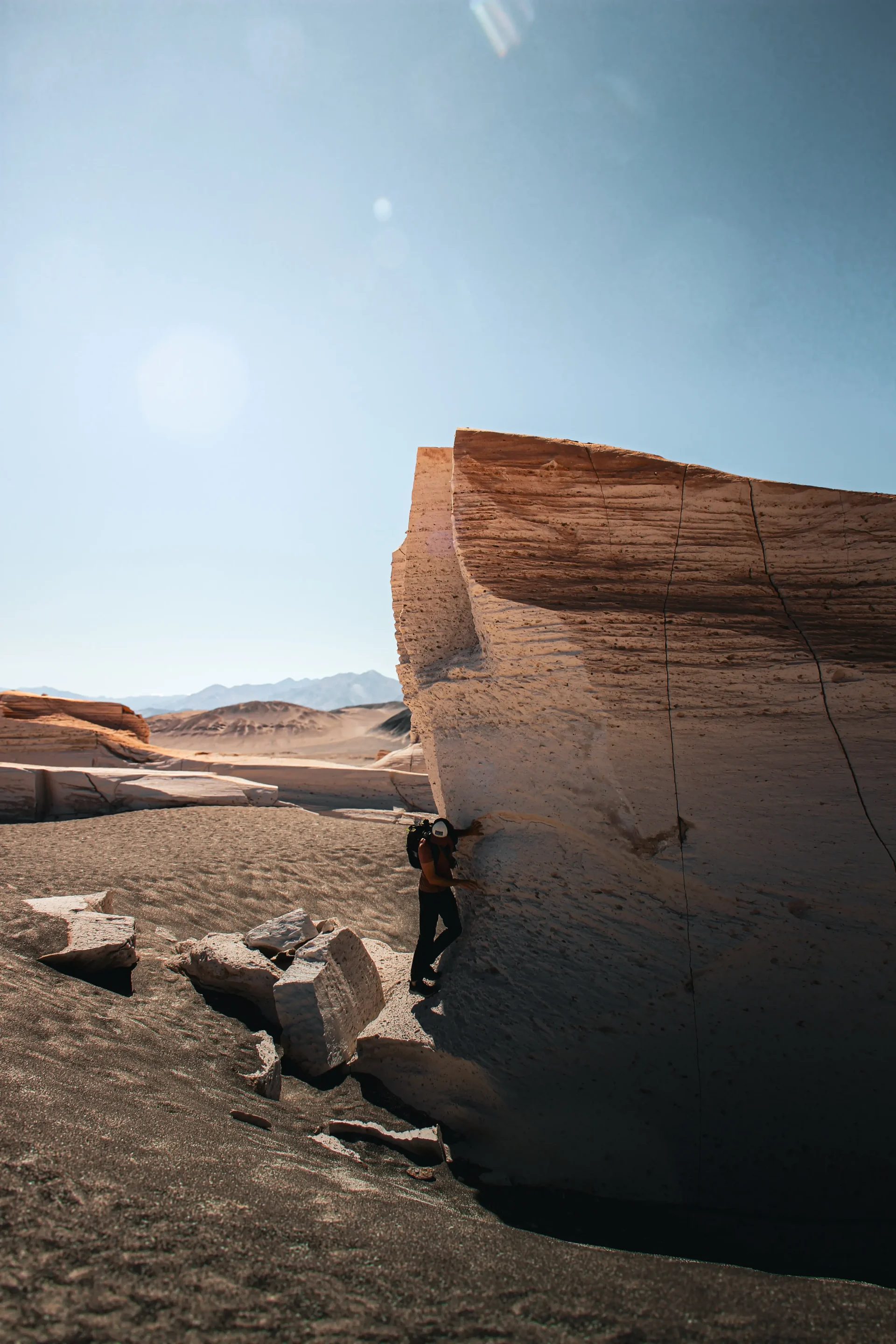
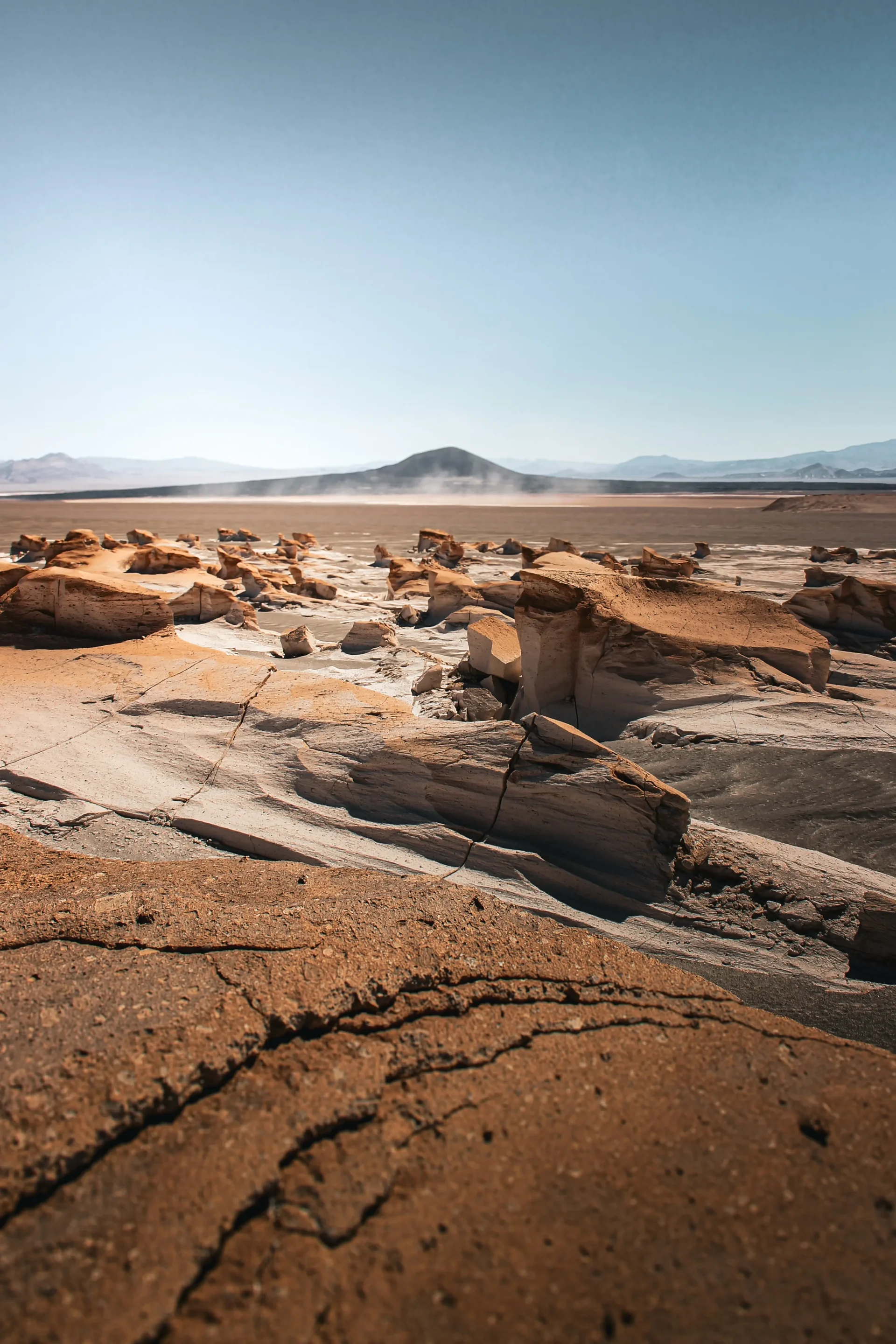
Campo de Piedra Pómez. An immense field of white volcanic rock, sculpted by erosion. The formations give the impression of a petrified sea. It is one of the landscapes we particularly enjoyed in the region.
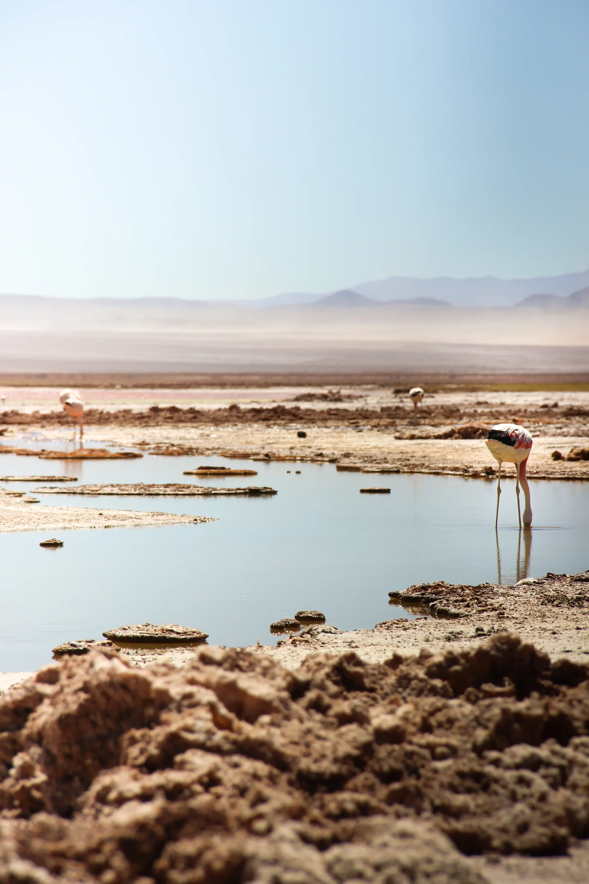
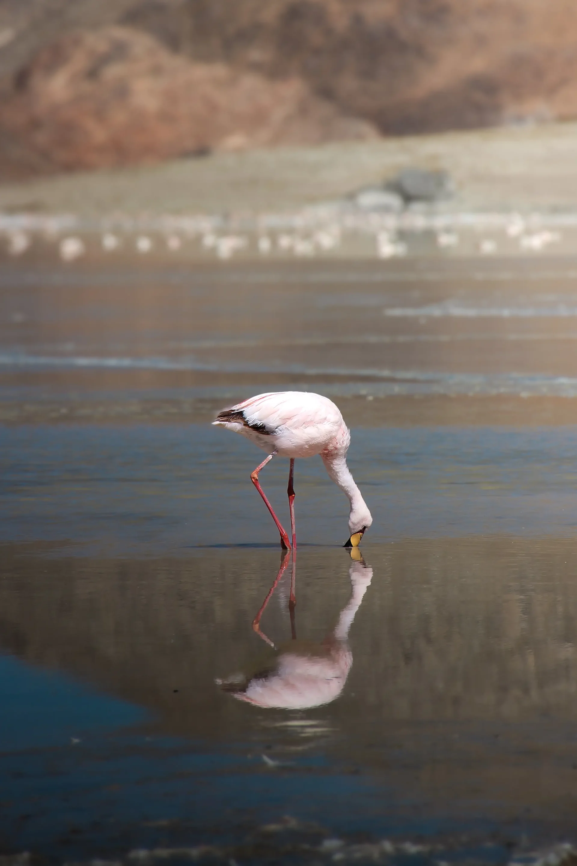
Carachi Pampa volcano and lagoon. A volcano of black rock at whose foot flamingos rest. They feed on the micro-organisms found in Laguna Carachi Pampa.
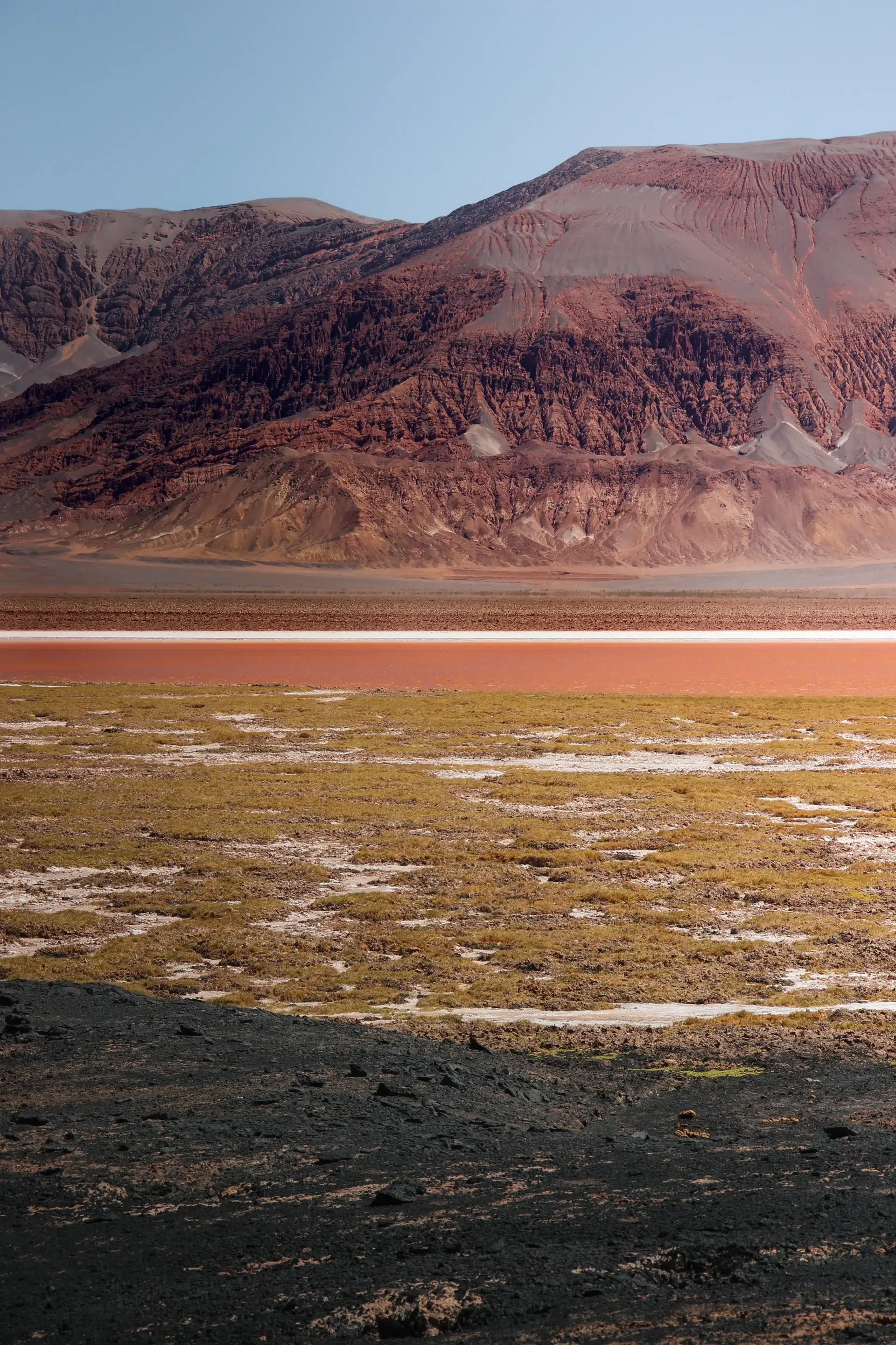
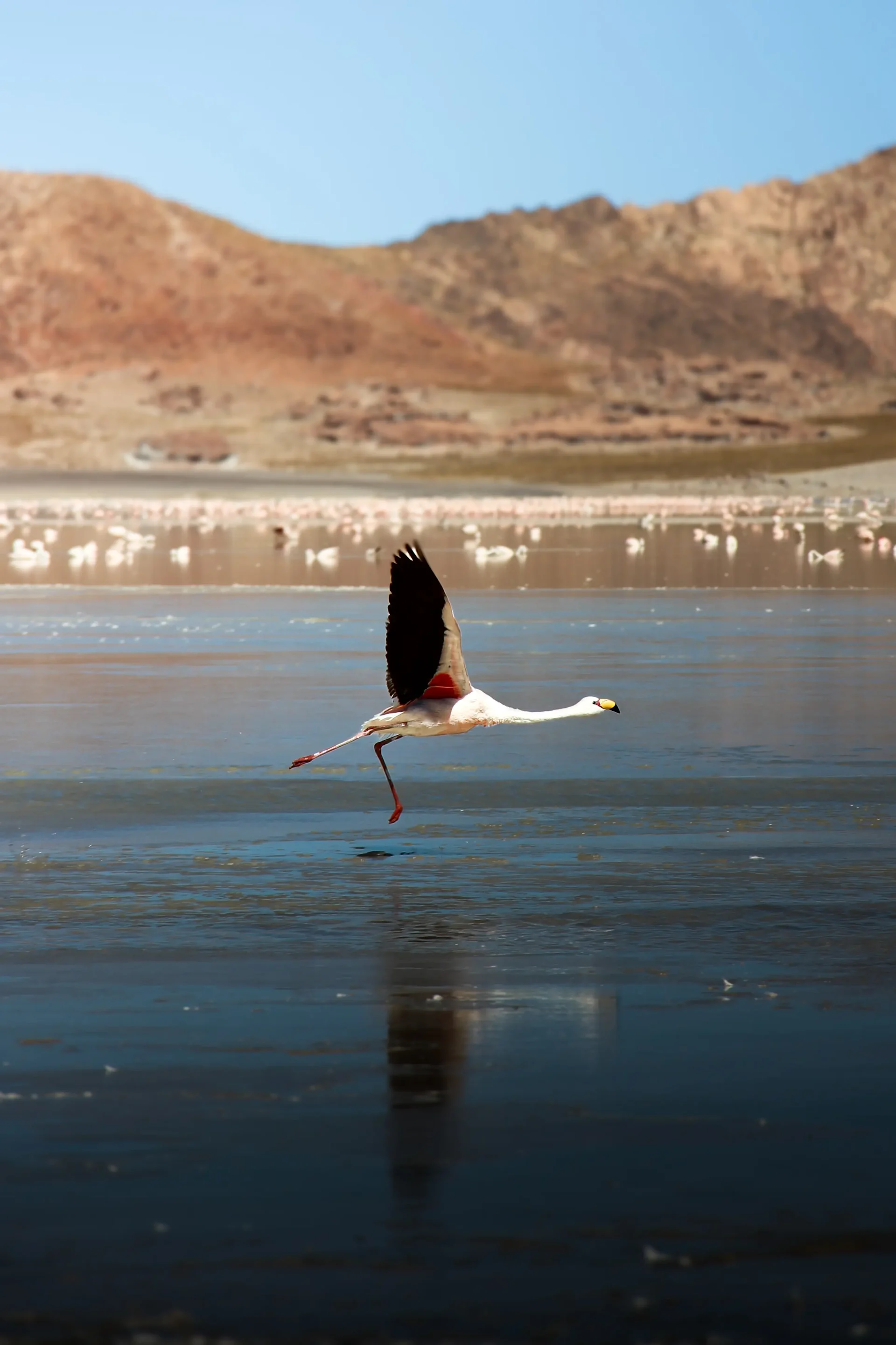
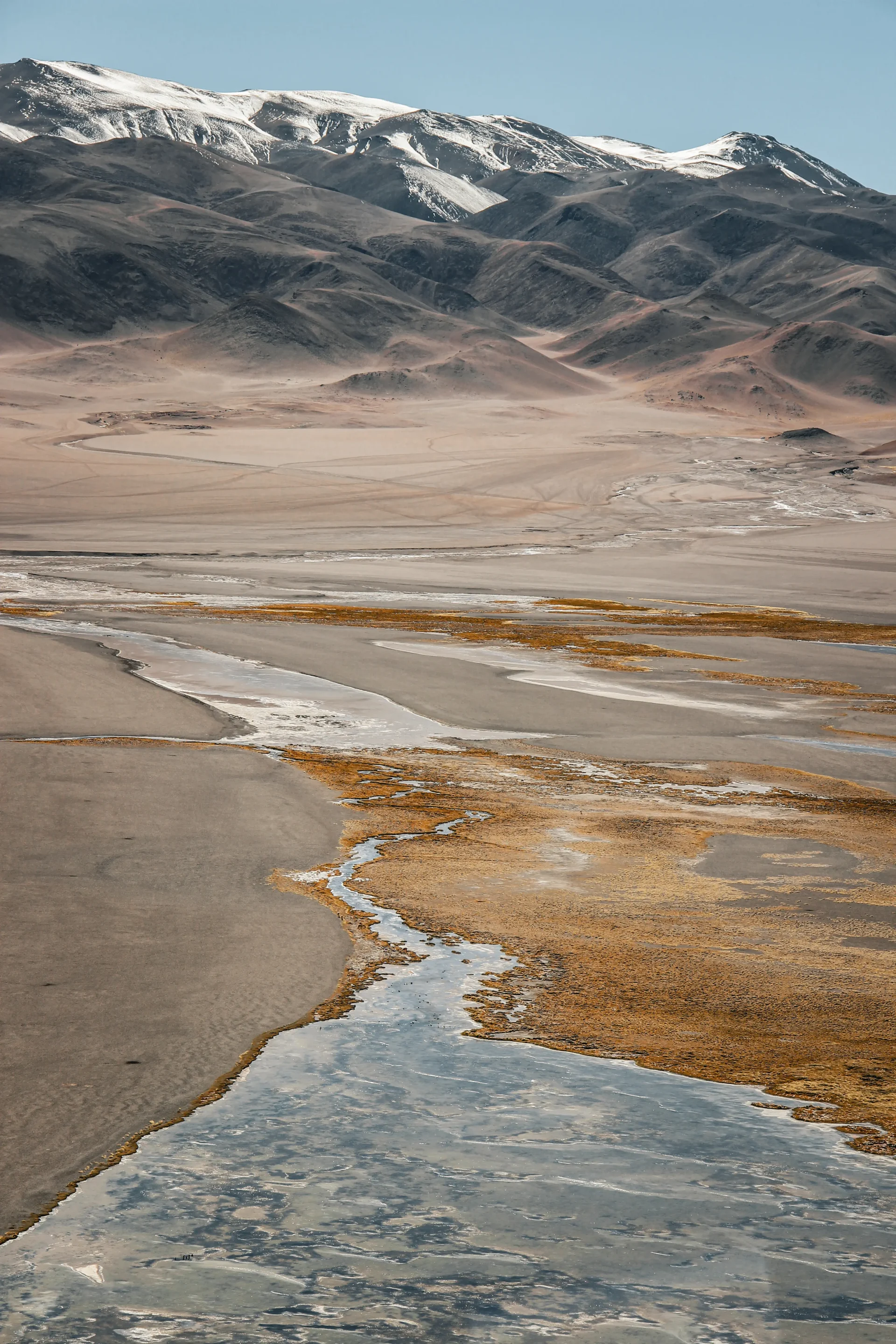
Laguna Grande/Espejon. A salt-water lagoon with green, ochre and beige reflections. It is also home to a large population of pink flamingos. We were able to watch them landing in the shallow waters of the lagoon.
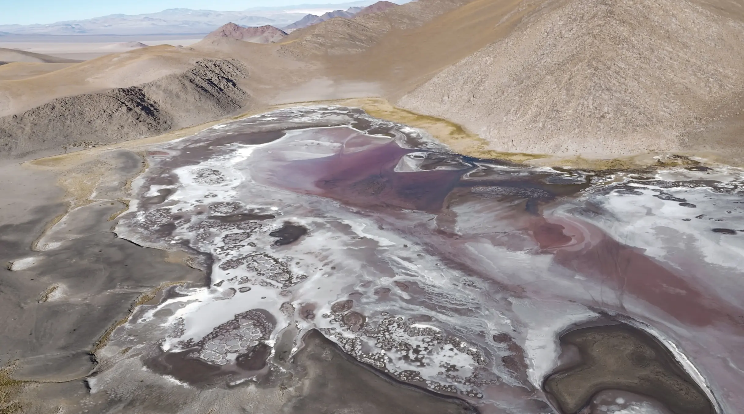
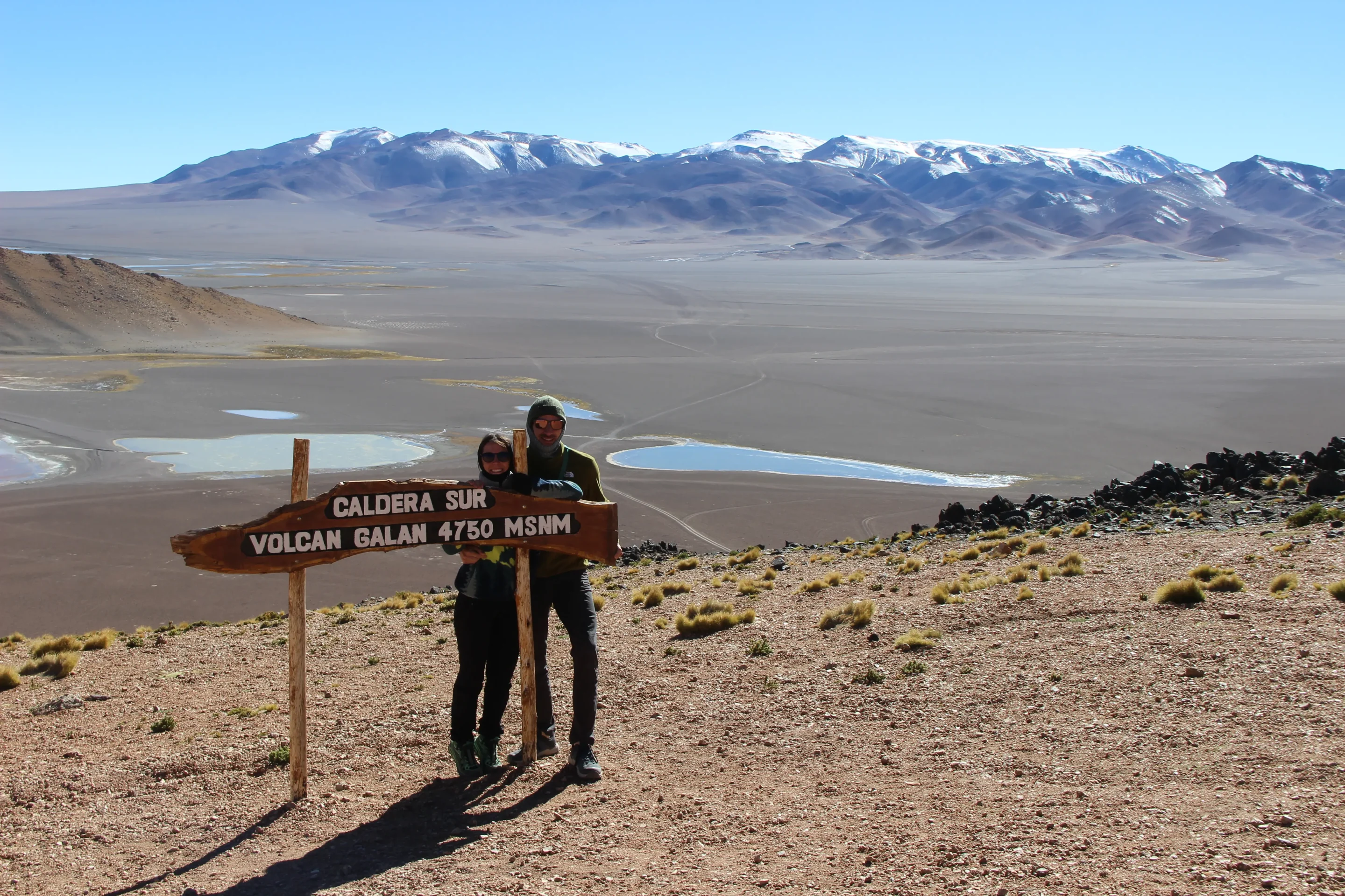
Galán volcano. Home to an immense volcanic caldera, which contains geysers among other features. The panorama from the heights is spectacular.
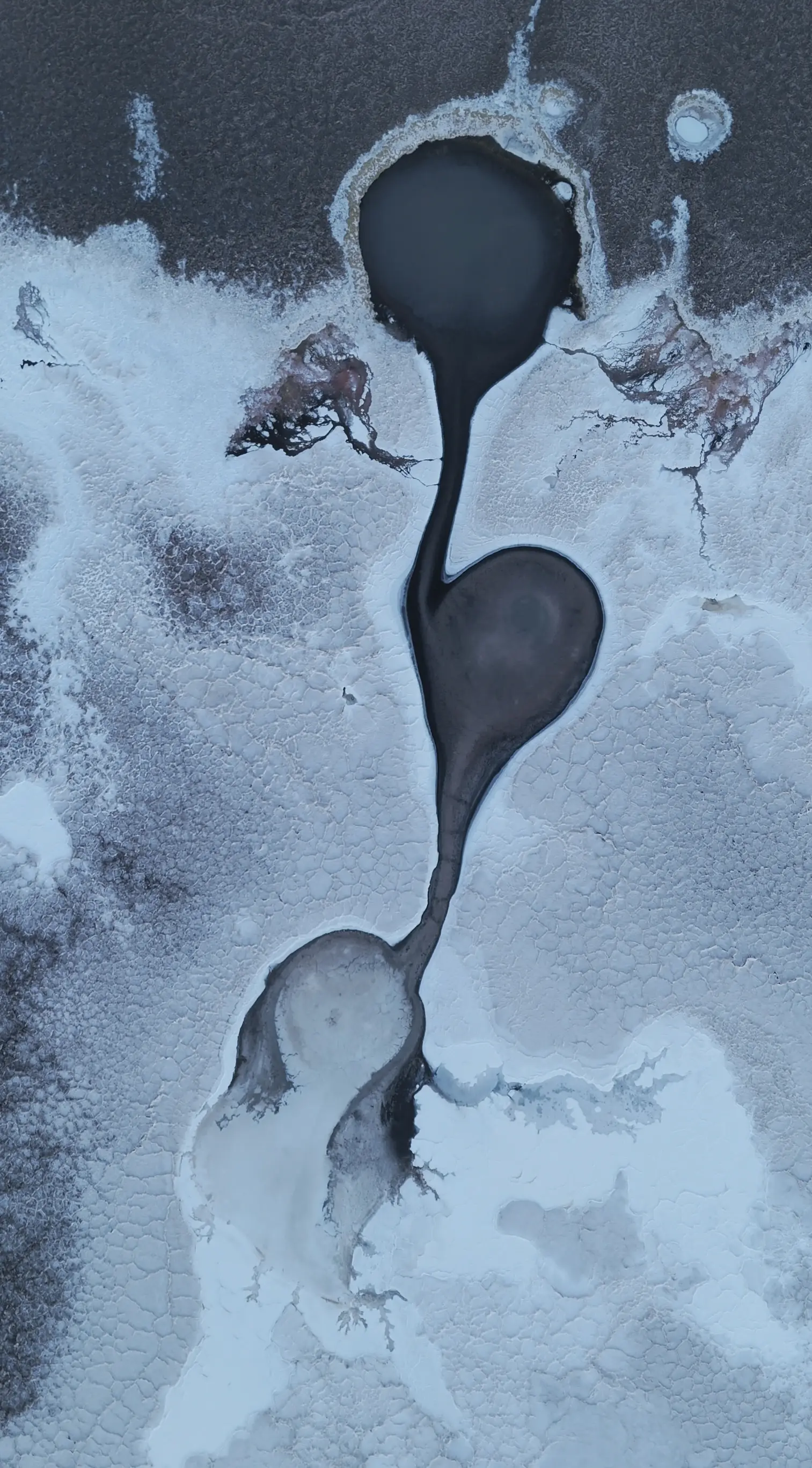
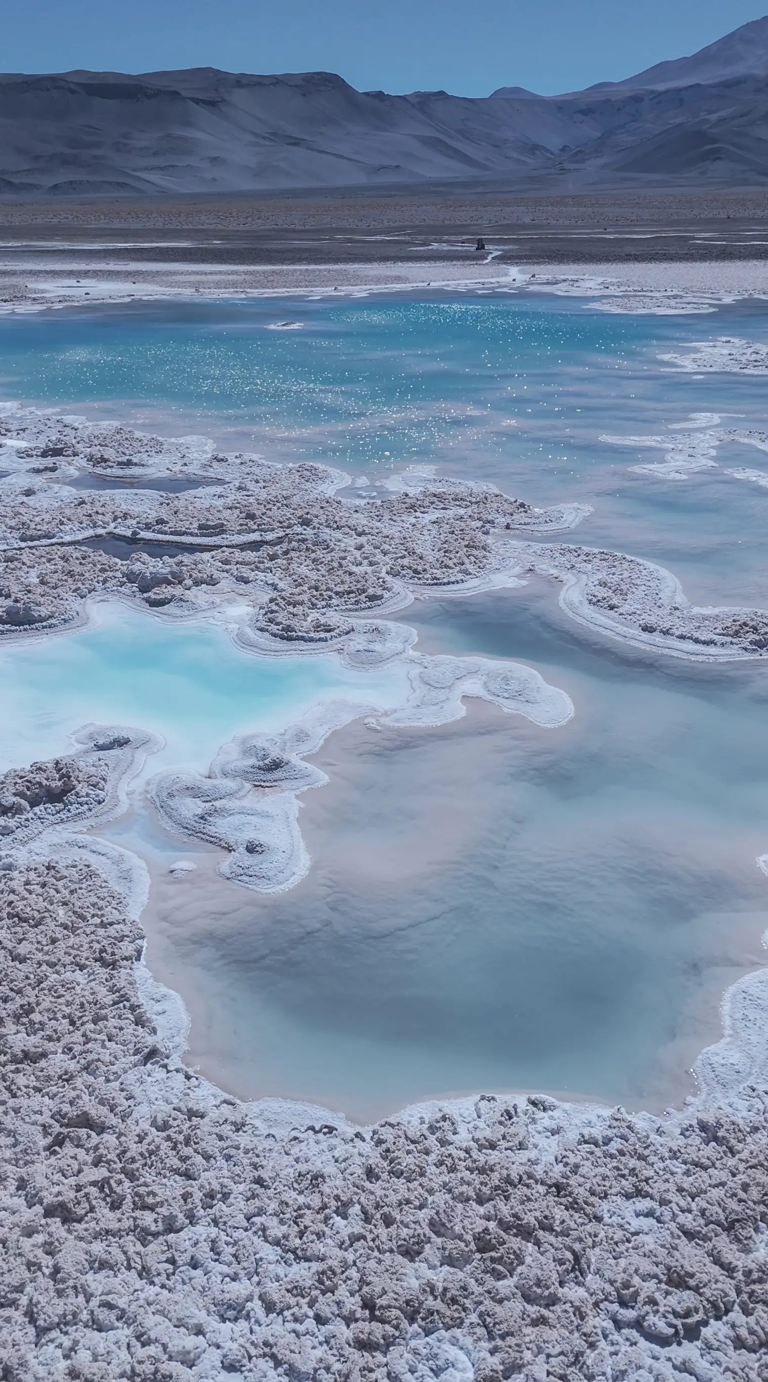
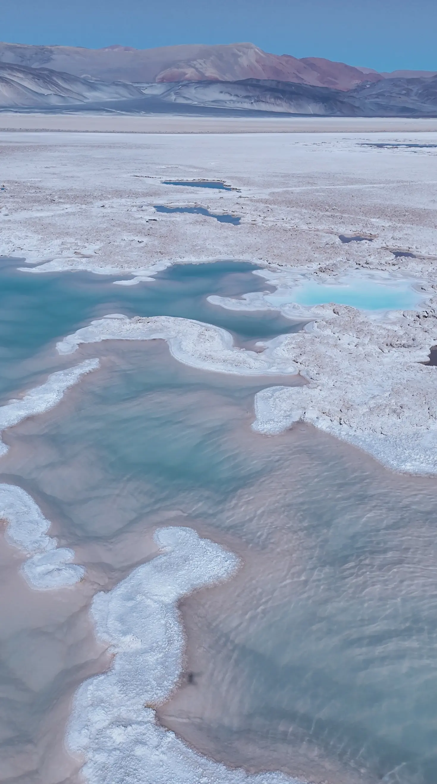
Salar de Antofalla. This was one of the landscapes that impressed us most during the crossing. We spent a windy night next to the Ojos de Campo, formations and pools of water in particularly vivid colours. It is also a spot that lends itself very well to aerial shots.
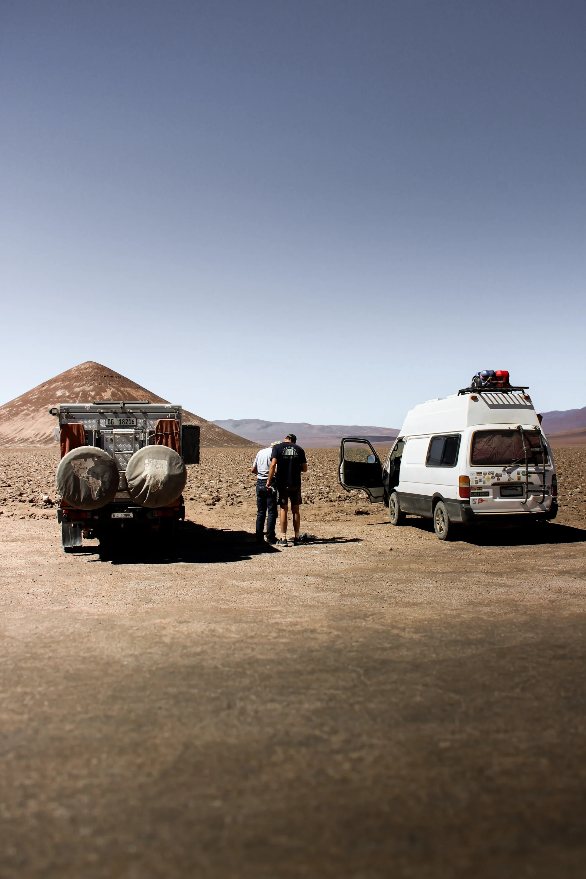
Cono de Arita. A cone lost in the middle of the desert. It is a rock formation that is surprising both for its almost perfect symmetry and for its presence in the middle of a salt desert.
Can You Drive the Puna de Atacama in a 2WD Van?
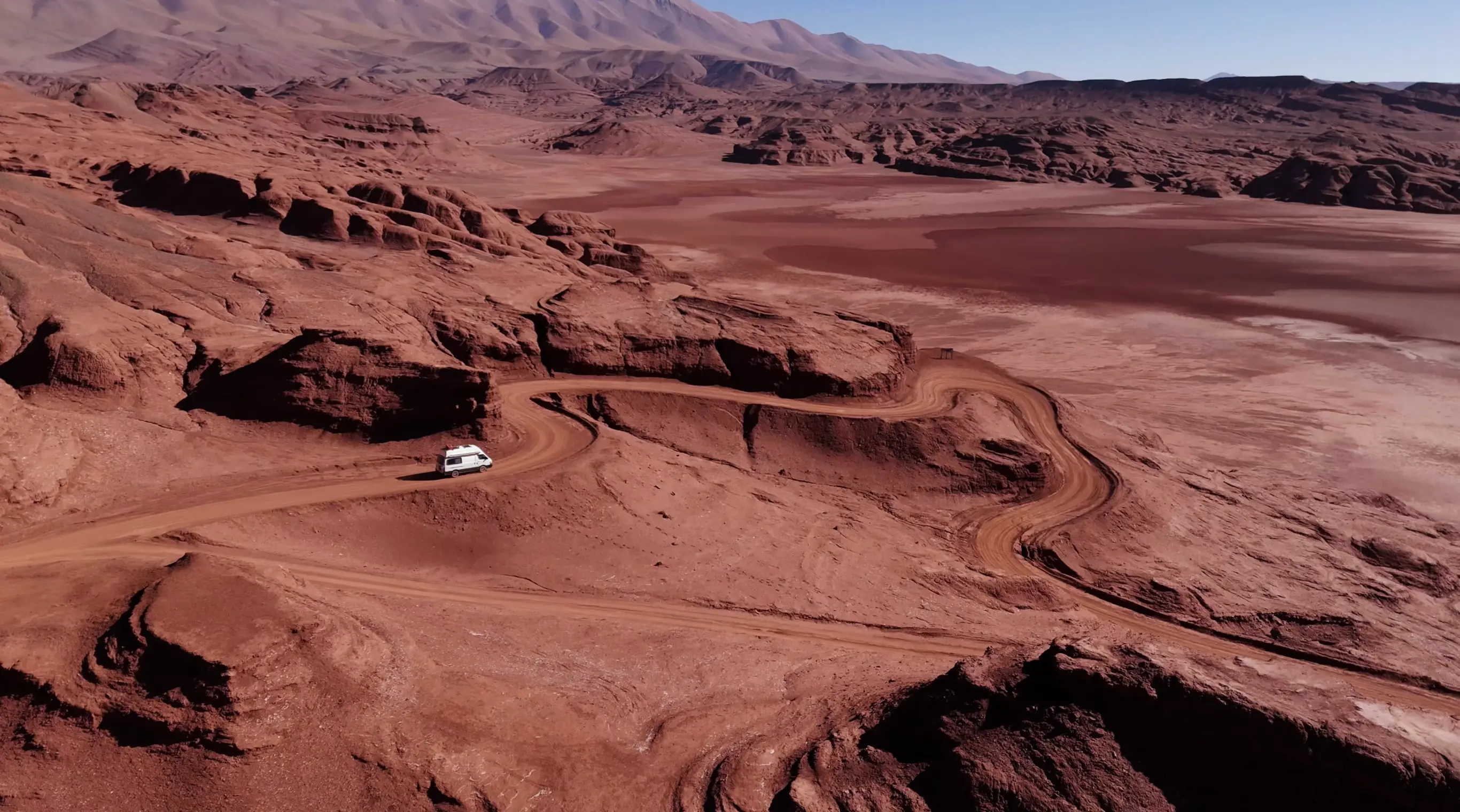
We covered more than 400 miles of tracks in our trusty Toyota Hiace, which has a 2WD drivetrain. That does not mean all the tracks in the Puna are accessible with just any vehicle. Quite the opposite! Some tracks require a 4x4, such as the excursions departing from El Peñón. Choosing your route according to your vehicle is therefore essential.
Weather conditions also need to be taken into account. Although very rare, rain can make the tracks impassable. In winter, snow can also severely hamper traffic. We suggest keeping an eye on this.
You should also know that the quality of the tracks changes from year to year. They are mostly used because of mining activity, and they are maintained accordingly. Overall, expect “washboard” sections, which can make driving very uncomfortable at times.
Is It Safe to Self-Drive the Puna?
Crossing the Puna takes a minimum of preparation. It is not so much the distance that is difficult as the isolation and the conditions in which some stretches have to be covered. It is safe from any thieves or violence, as far as we know.
The challenge is to prepare for the environment and the navigation on these isolated tracks.
Fuel, Food and Water: Where to Resupply
For the crossing in a converted van, motorhome or any other motorised vehicle, you need to prepare beforehand. First, make sure you fill up your reserves of fuel, food and drinking water for several days. We filled up during the crossing and paid top price at a small station in Antofagasta de la Sierra. Looking back, we would have filled two jerrycans before leaving the 40 in the gas station of El Eje for example.
You can find a few places to resupply in the following towns: El Peñón, Antofagasta de la Sierra, Antofalla or Tolar Grande. We strongly recommend having breakfast in Antofalla at la Casa de Altura. It is a simple guesthouse run by a very welcoming family.
Altitude: What to Expect Above 4,000 Meters
From the very first day, we had reached 3,700 metres. The sensations are unusual: headaches and a floating feeling. It took us a few days to get used to it. Looking back, we would have spent a first night at around 3,000 metres before climbing in more gradual stages. For precise medical recommendations on acute mountain sickness, it is best to consult a specialist medical source.
Offline Maps and Navigation
Mobile coverage is very limited so you need to download your maps before setting off. We used Maps.me as well as Google Maps satellite imagery. The satellite images let us spot tracks that did not automatically appear in our navigation app. This preparation takes time, but it helps anticipate the different sections of the route.
What if you break down?
Some sections of this itinerary are very isolated. If you break down, arranging a tow can therefore become complicated. It is not impossible, but it is better to be aware of this before heading onto the most remote tracks.
If possible, travelling with other vehicles can add an extra margin of safety if something goes wrong. That said, many travellers make this crossing with a single vehicle without any particular difficulty.
How Many Days Do You Need?
It depends on the option you choose. For the full crossing, we needed 6 days. Some days were particularly long, with several hours of driving on difficult tracks. The 400 miles of tracks obviously can’t be covered at the same speed as for asphalt.
If you would rather do excursions from San Antonio de los Cobres or El Peñón, we think three days and two nights are already enough to see a good part of the Puna de Atacama.
Puna de Atacama Road Trip Cost: Our Budget
Here is the budget we spent on our crossing:
- Food: $11 per person per day.
- Fuel: $19 per 100 kilometres, so $122 for 400 miles (April 2026).
- Excursions: $200 for two people and two excursions (April 2026).
Adding in one or two restaurants, we reach a total budget of $457 for two people. Since prices are subject to change, this budget should be taken as feedback from our own trip rather than as a current price list.
Can you visit the Puna without a car?
Yes, it is possible to visit the Puna without a vehicle. You will need to use tour operators, who offer day trips or multi-day excursions. San Antonio de los Cobres is accessible from Salta and is a starting point for various excursions.
Excursions also depart from El Peñón, although this town is harder to reach by public transport. We used Junsay Adventure in El Peñón and were very satisfied with the service. The excursions also seemed much cheaper than in other touristic regions of South America.
Preparing your trip to the Puna
If you don’t want to organise the crossing yourself, some agencies offer complete, tailor-made packages. For example, Visit Argentina offers trips in the region as well as Pura Aventura
We also loved reliving this adventure through the documentary of Toyota World Runners below.
FAQ
What is the Puna de Atacama ?
The Puna de Atacama is a high-altitude, arid desert plateau in the Andes Mountains, spanning roughly 180,000 square kilometers across northwest Argentina (about 85% in Salta, Jujuy, and Catamarca) and northern Chile (about 15% in Antofagasta and Atacama).
Where is the Puna de Atacama?
The Puna is in northwest Argentina, in the Andes region, notably around the provinces of Salta, Catamarca and Jujuy.
At what altitude lies the Puna?
The Puna de Atacama lies at an average elevation of about 4,500 meters (14,800 feet) above sea level, with terrain generally ranging from 3,700 to over 4,600 meters (12,100 to 15,100 feet) across its plateau and mountain ranges.
Can you visit the Puna by van?
Yes. We crossed more than 640 kilometres of tracks in our 2WD Toyota Hiace. It does depend, however, on the state of the tracks and on weather conditions.
What is the best time to visit the Puna?
The dry season generally runs from April to October, but conditions can vary between sectors. It is advisable to check local conditions before setting off.
What are the main risks in the Puna?
For us, the main difficulties were the isolation, the state of the tracks, the altitude and the weather conditions.
How many days should you plan for?
6 days for a full crossing, 3 days for excursions from San Antonio de los Cobres or El Peñón.
Do you need a 4x4?
Not necessarily: we completed our route in a 2WD Toyota Hiace. However, some excursions and some tracks may require a 4x4, depending on their condition and the conditions at the time.
Is it safe for Americans to go to Argentina right now ?
US official travel advisory website confirms that Argentina is generally a safe destination for travelers.
Is Salta worth visiting ?
We did not visit this area but heard many travellerd praising it. Erin and her blog "Sol Salute" gives more insight on what to do is Salta.
0 Comments