Patagonia National Park (Chile): Hikes, Camping and Budget by Van
Patagonia National Park: Land of the Pumas
In February 2026, our road trip along the Carretera Austral takes us to Patagonia National Park (Chile). Hoping to spot the iconic puma, we trek across immense steppes, alone in the world, with a horizon of mountains and forests.
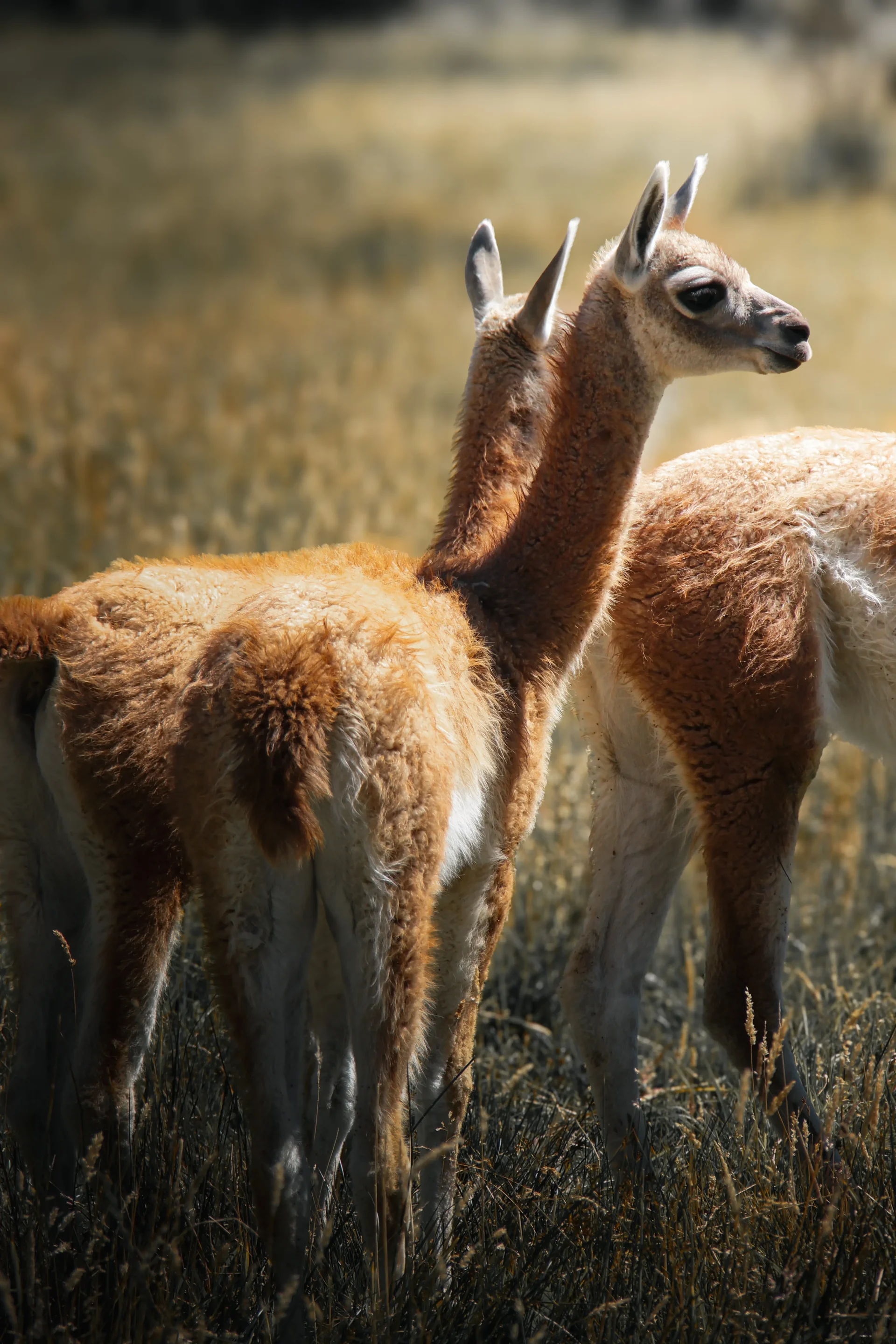
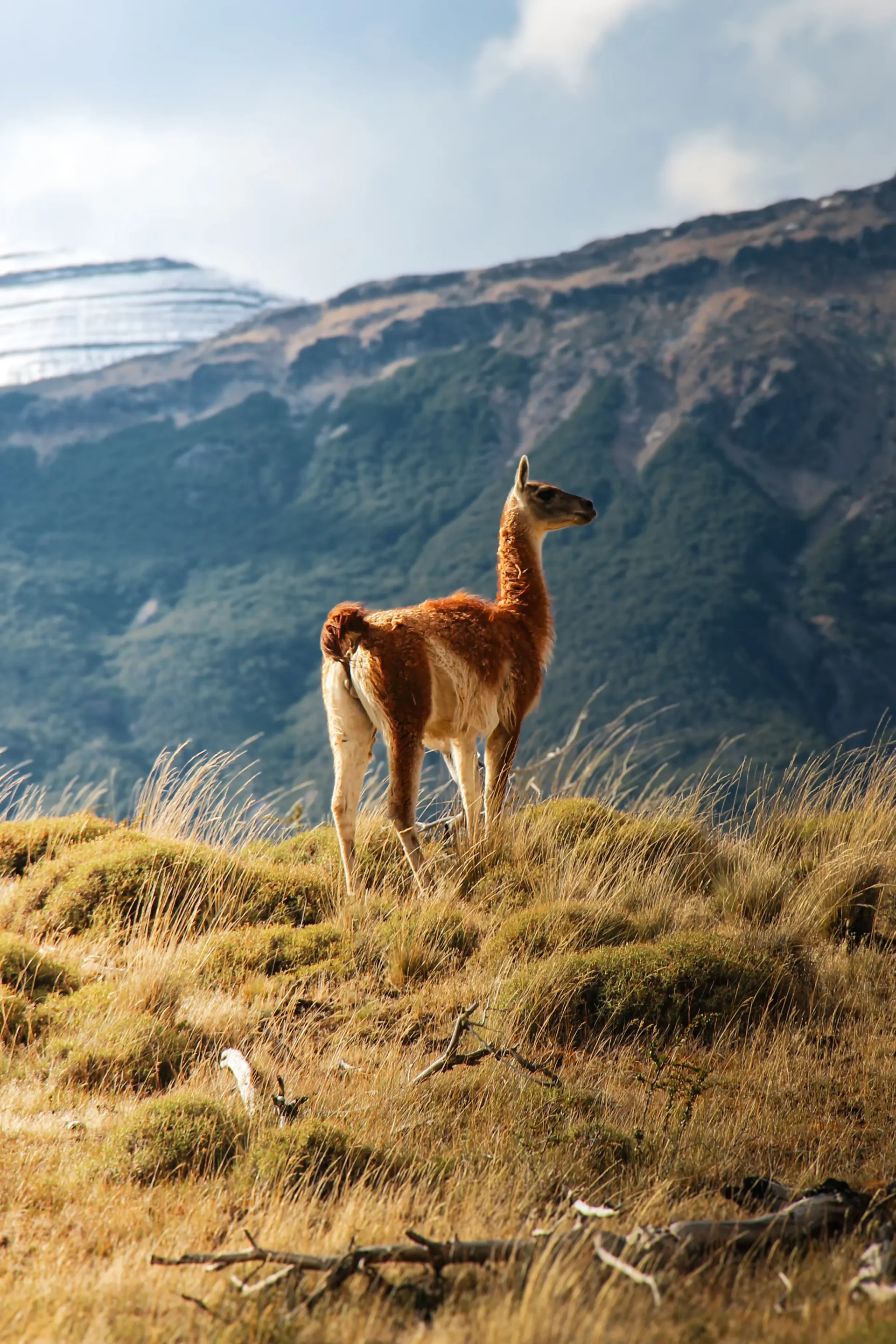
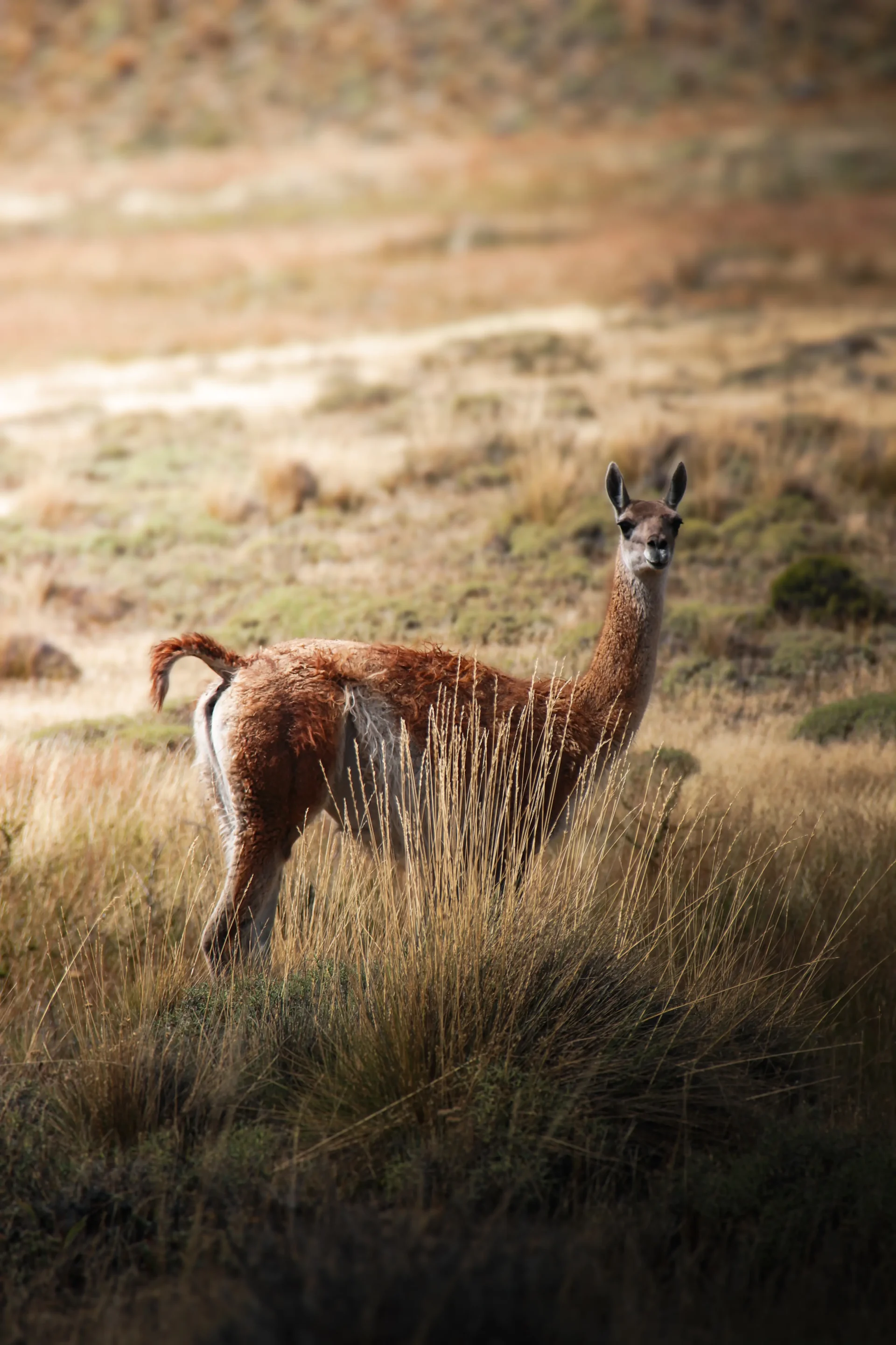
The encounters with animals leave a lasting impression on us. While herds of guanacos rest in the grassy valleys, we scan the steep cliff faces through our binoculars, dreaming of Patagonia’s largest feline. Although we were sure it was close by, the puma stayed out of sight.
A safari without a puma, and yet one of our best memories of Chile
In this guide, we share our four-day experience in the park and everything you need to know to start exploring it: a map and information about the different sectors and entrances, accommodation options, hikes, and our detailed budget.
Table of contents
Key Takeaways
- Itinerary: we crossed the Valle Chacabuco sector of Patagonia National Park (Chile) in 4 days and 3 nights, from the X-83 junction to Paso Roballos (February 2026)
- Entry: can be bought online, CLP 22,800 (≈ $24) for two foreigners (October 24, 2026)
- Access: the 60 miles dirt road from Puerto Río Tranquilo takes 4 to 5 hours in a 2WD van, with washboard sections
- Camping: wild camping is prohibited; we paid $11 per night for two
- Hikes: we did 2 hikes: Cañadón Chacabuco–Laguna Cisnes and the Avilés loop
- No fuel or supermarket in the park, and very limited mobile coverage
- Budget: $158 for two over 4 days and 3 nights, or $20 per person per day
- Border: to cross into Argentina via Paso Roballos, you need to request a salvoconducto from the PDI in advance
Patagonia National Park in Chile: A Brief Overview
This protected area of more than 300,000 hectares was established in 2018, after the foundation of an American couple donated lands to the Chilean government. The donation was the culmination of several years of work to buy back and restore farmland. The park is managed by CONAF, the Chilean forest protection agency.
Today, large herds of wild guanacos graze peacefully. Well, almost, because since their numbers have recovered, the puma has naturally taken back its territory. According to a local guide we met at a campsite, more than 100 individuals are spread across the park’s three sectors at the moment (oral testimony).
It is easy to confuse this park with its Argentine counterpart on the other side of the border. For more information about activities in the Argentine park, we recommend the official “Parque Patagonia” website.
Where Is the Park and How Do You Get There by Van
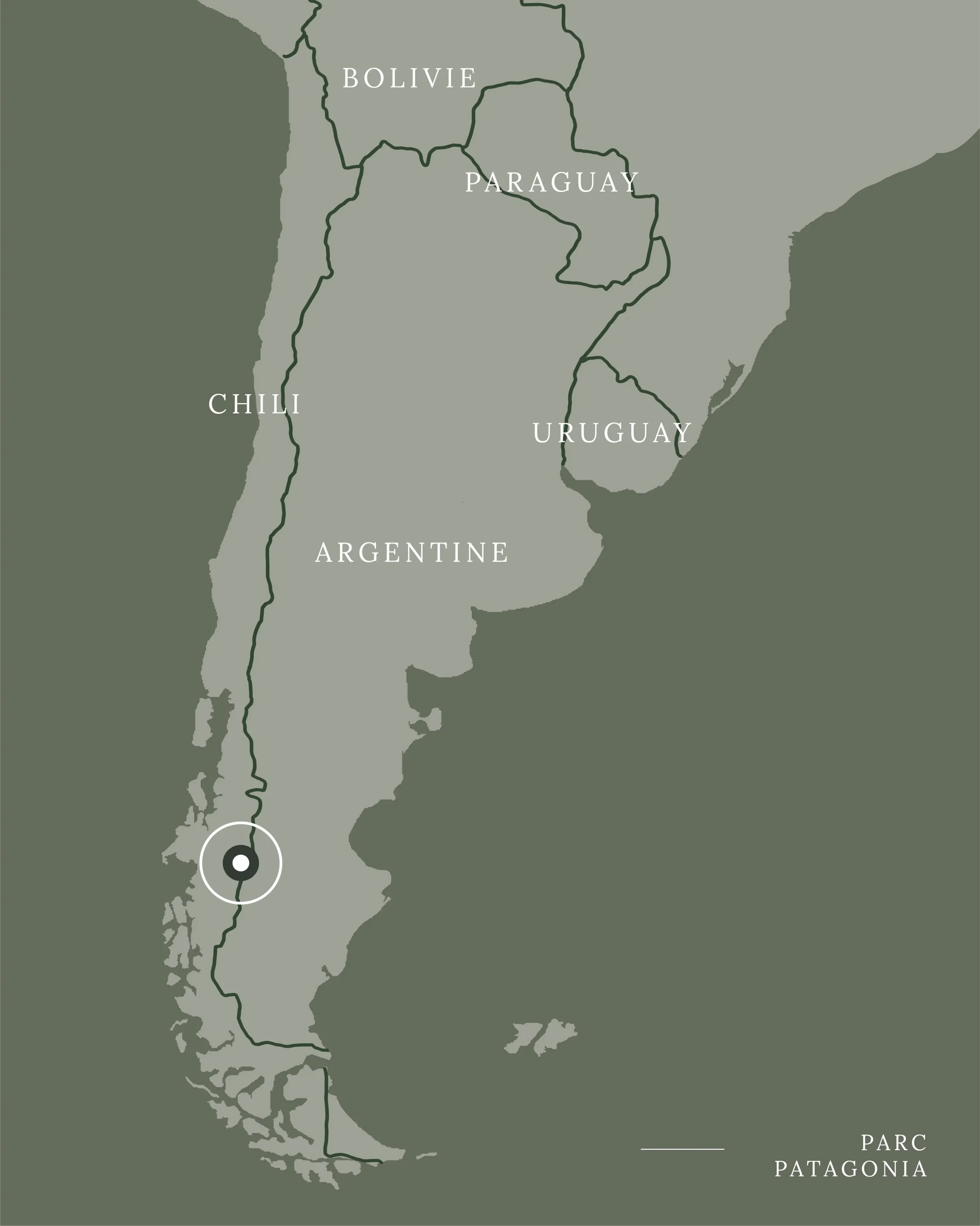
Located between Lago General Carrera to the north and Lago Cochrane to the south, the park lies in the Aysén region of Chile. It is accessible via the Carretera Austral, a road that runs through Chilean Patagonia from north to south for more than 770 miles.
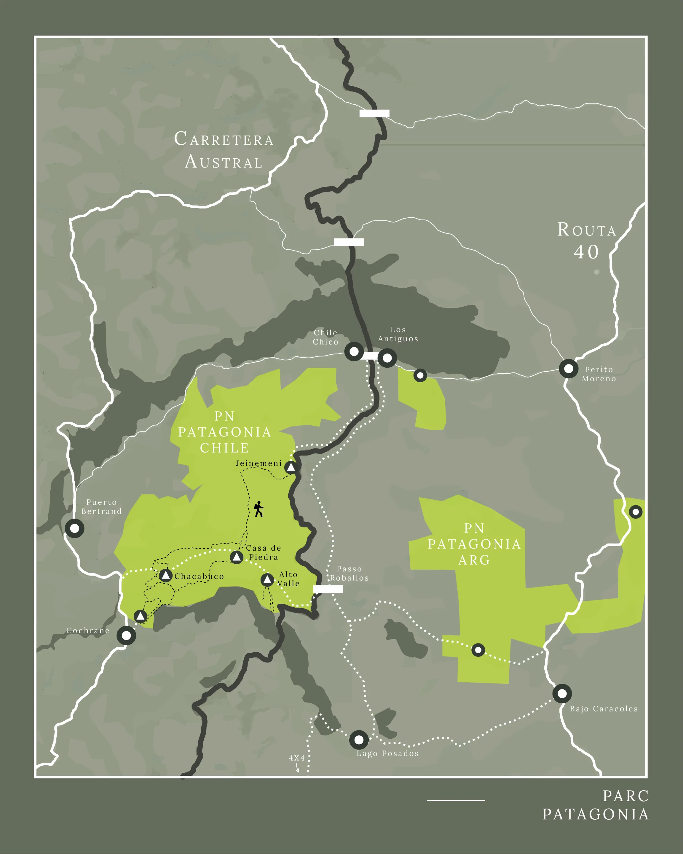
One park, three sectors: Jeinimeni, Valle Chacabuco and Tamango
It’s worth knowing that the Chilean park is divided into three sectors: Jeinimeni, Valle Chacabuco and Tamango. It also has three different entrances:
- the north entrance near Chile Chico via the X-753 (for starting a hike)
- the northwest entrance next to Mallín Grande via the X-771 (for a cycling loop, not shown on our map)
- the west entrance near Cochrane via the X-83 (the only drivable road crossing the park)
We used the west entrance for several reasons. First, it gives access to the Valle Chacabuco sector, the best equipped in the park: toilets and showers, marked hiking trails and accommodation. Second, it leads straight to Argentina via Paso Roballos, a border crossing known for its remoteness and epic roads across mountains.
The Road From Puerto Río Tranquilo
For those driving the Carretera Austral from north to south like we did, the stop before Patagonia National Park is Puerto Río Tranquilo and its marble caves. This road leads straight to the junction with the X-83 and the west entrance.
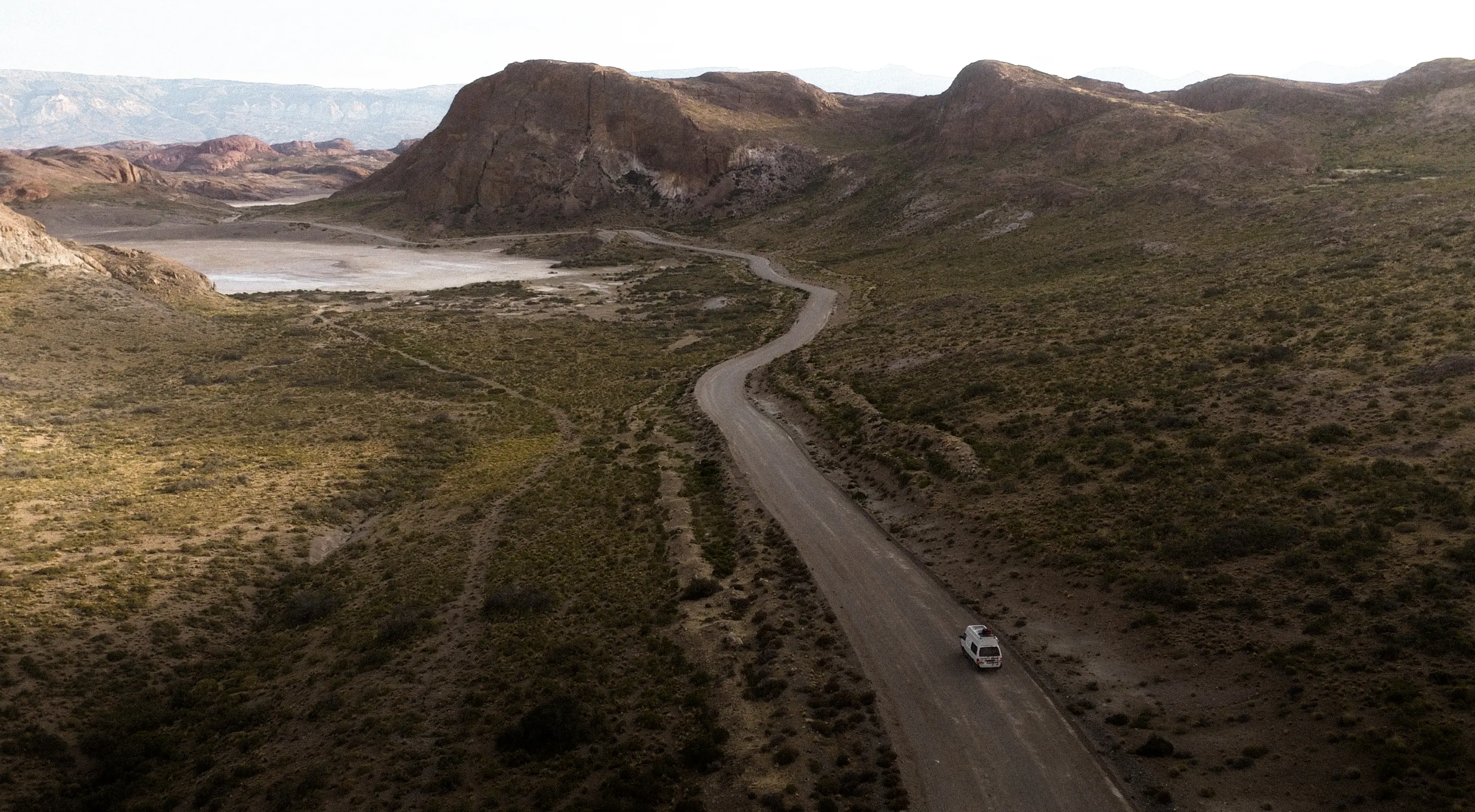
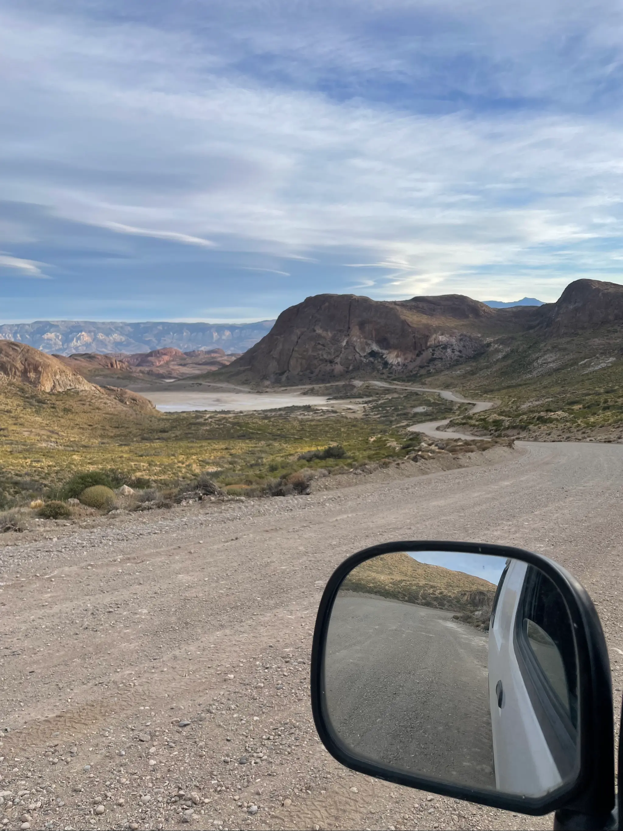
The 60 miles between these two points are on a rather poor dirt and gravel track. Passing vehicles create “washboard,” a series of small, closely spaced bumps that make driving uncomfortable. The trip took us between four and five hours. In other words, an average of 15 miles per hour.
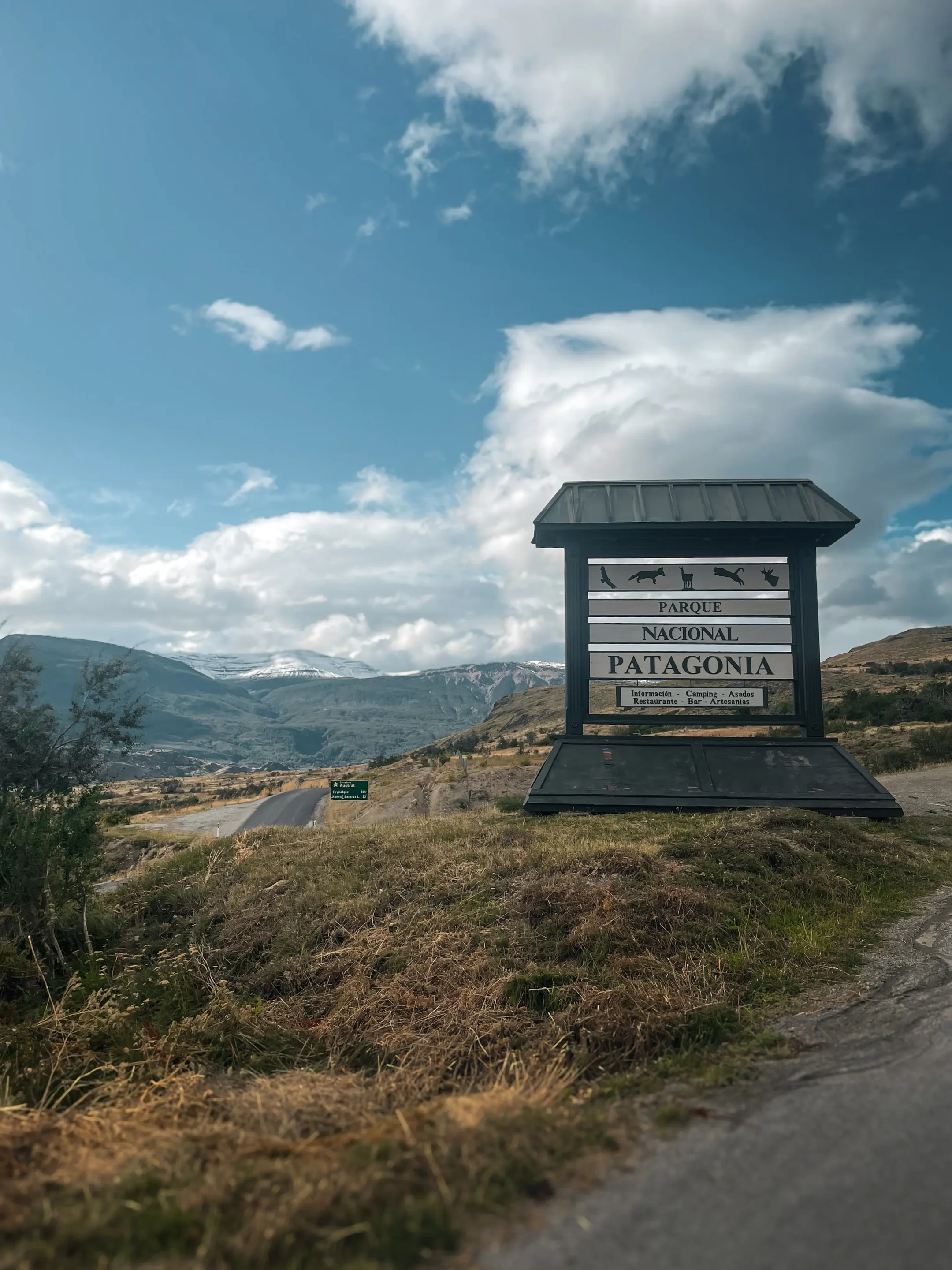
Still, our Toyota Hiace with its 2WD drivetrain, bought in Santiago two months earlier, was up to the task. We have to admit we sometimes dreamed of the suspension on the pick-ups that overtook us at 60 m/h. Apart from a small stone building announcing the entrance to the park, nothing gives you that impression: no checkpoint, no rangers. Just the road.
Entrance, Tickets and Opening Hours
The first facility in the Chacabuco sector is the visitor center, located 7 miles further on. We filled in a register and bought our tickets there, for a total of CLP 16,600 (about $18) for two people (February 10, 2026). One of us holds a RUT, an official Chilean document we obtained while buying our van, so we got the national rate for one of the two tickets.
You can also check availability and pay online on the official ticketing site, Pases Parques Nacionales. For two tickets as a foreigner, the price is CLP 22,800, about $24 (online price on October 24, 2026). Each sector has its own online ticket office: the Jeinimeni sector and the Tamango sector.
According to the same site, the Chacabuco sector is closed on Mondays and open from 8:30 am to 6:00 pm. However, during our visit, there were no checks of any kind.
Our Crossing in Brief
Our crossing of Patagonia National Park through the Chacabuco sector
- Duration: 4 days and 3 nights
- Distance: 46 miles
- Vehicle: Toyota Hiace 2WD
- Starting point: junction between the Carretera Austral and the X-83
- End point: border crossing into Argentina, “Paso Roballos”
- Phone: very limited mobile coverage
- Wi-Fi: available at the visitor center
- Budget: $158
- Period: February 2026
- Hikes: 2
- Pumas recorded (not by us): 33 (Chacabuco sector), according to Rewilding Chile
Which Hike Should You Choose?
Here is a summary of the different hikes available in the Chacabuco sector. The data comes from AllTrails, and our own trail notes follow right after. The visitor center has a series of posters detailing the different routes. We strongly recommend stopping by to get information, especially on trail status. For example, during our visit a loop between Cañadón Chacabuco and Laguna Cisnes was temporarily closed (and we only found out afterwards).
| Hike name | Miles | Gain | Difficulty | Tested | Loop | AllTrails route | Nearest campsite |
|---|---|---|---|---|---|---|---|
| Lagunas Altas | 21.2 | 944 | Hard | ✘ | ✔ | Lagunas altas | Camping West Winds |
| La Vega | 5.3 | 70 | Easy | ✘ | ✔ | La Vega | Camping West Winds |
| Cañadón Chacabuco | 10.3 | 252 | Moderate | ✔ | ✘ | Cañadón Chacabuco | Camping West Winds |
| Laguna Cisnes | 8.6 | 211 | Moderate | ✔ | ✘ | Laguna Cisnes | Camping West Winds |
| Avilés Loop | 16.6 | 679 | Moderate | ✔ | ✔ | Avilés | Camping Casa de Piedra |
| Lago Chico | 11.8 | 447 | Moderate | ✘ | ✔ | Lago Chico | Camping Alto Valle |
There is also a hike that crosses the entire park from northeast to southwest, over 37 miles. However, it requires a lot of preparation, particularly in terms of logistics: it is not a loop, so you will have to count on hitchhiking to get back to your vehicle.
If you are interested in this real through hike, the blog Adventure Alan & Co provides a very detailed article on the subject: distances, GPS tracks, elevation and all you need to know for a supply and wild camping spots.
Our Hikes in the Chacabuco Valley
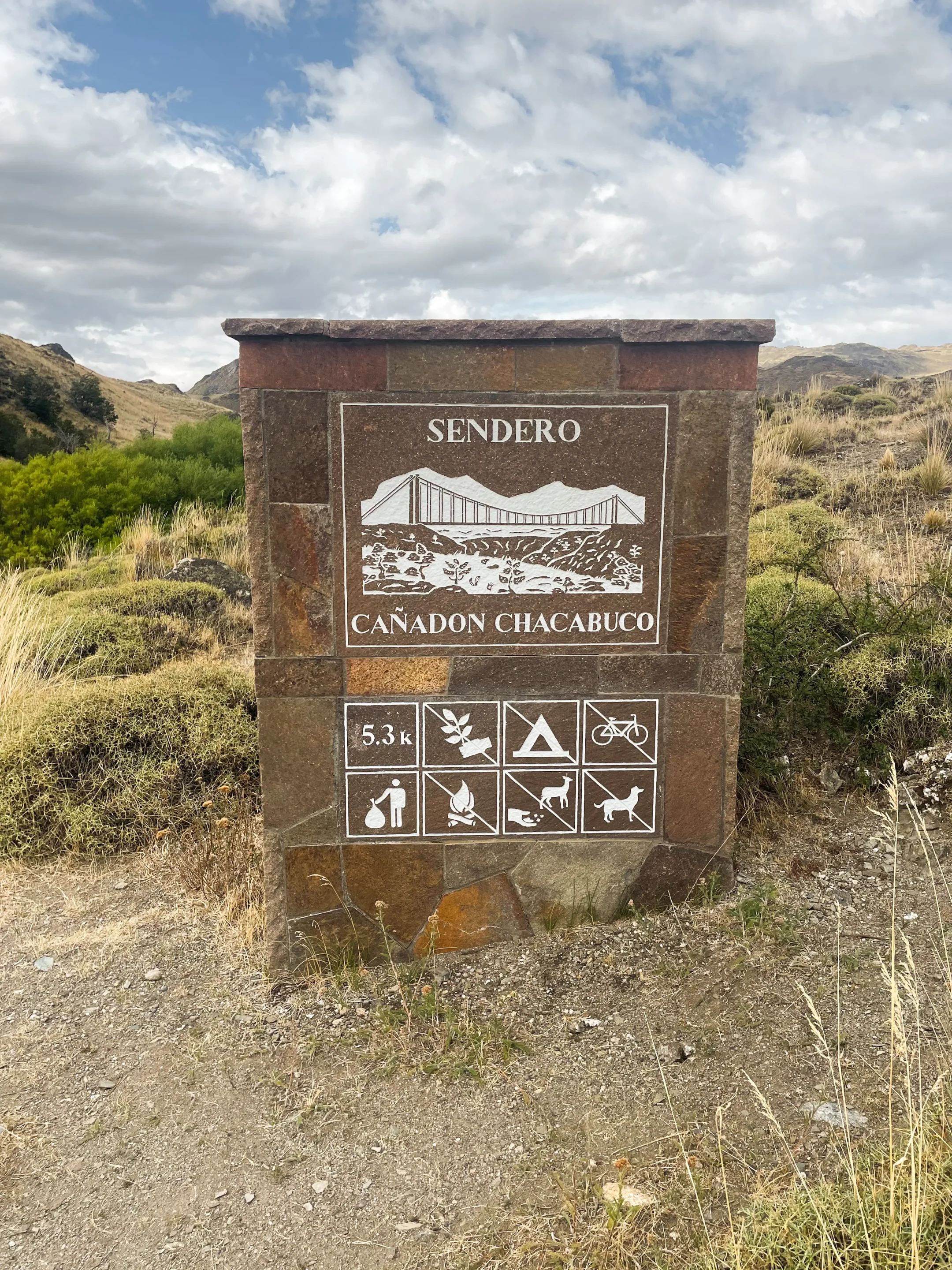
Cañadón Chacabuco and Laguna Cisnes
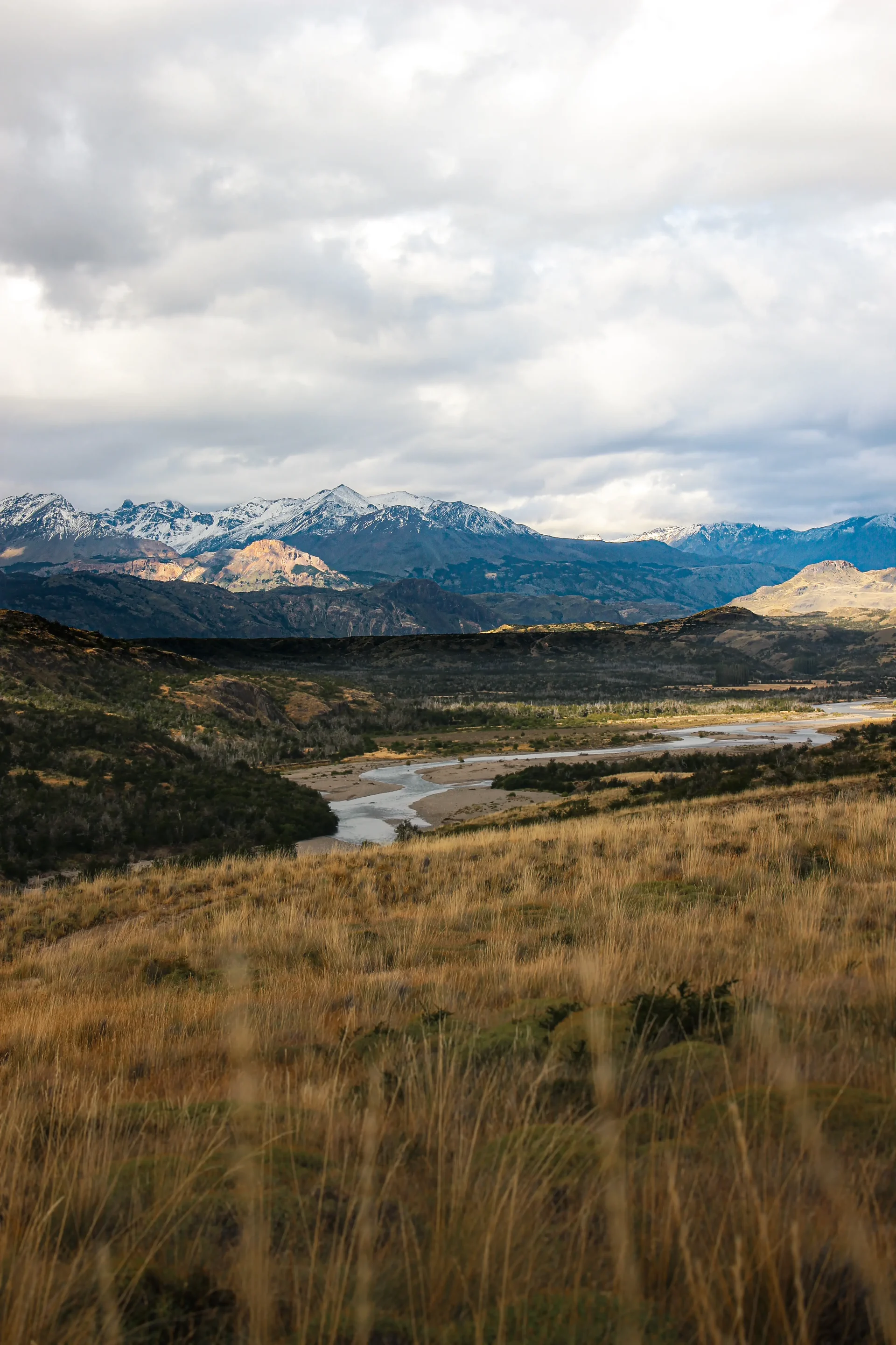
For our first hike in the Chacabuco Valley, we did the Cañadón Chacabuco trail on the way out and then continued straight on to Laguna Cisnes, creating a loop and avoiding two separate out-and-back walks.
A new landscape of unusual steppes unfolded for us. Our eyes almost expected a herd of zebras to appear, so much did the scenery recall the yellow plains of the Serengeti in Africa.
Technical sheet:
- Hike name: CLOSED Chacabuco - Laguna Cisnes
- Distance: 10.8 miles
- Elevation: 502 m gain, 502 m loss
- Duration (excluding breaks): 3 h 52
- Difficulty: Moderate
- Starting point: shared trailhead of the Cañadón Chacabuco and Laguna Cisnes trails
- Parking: spaces along the X-83
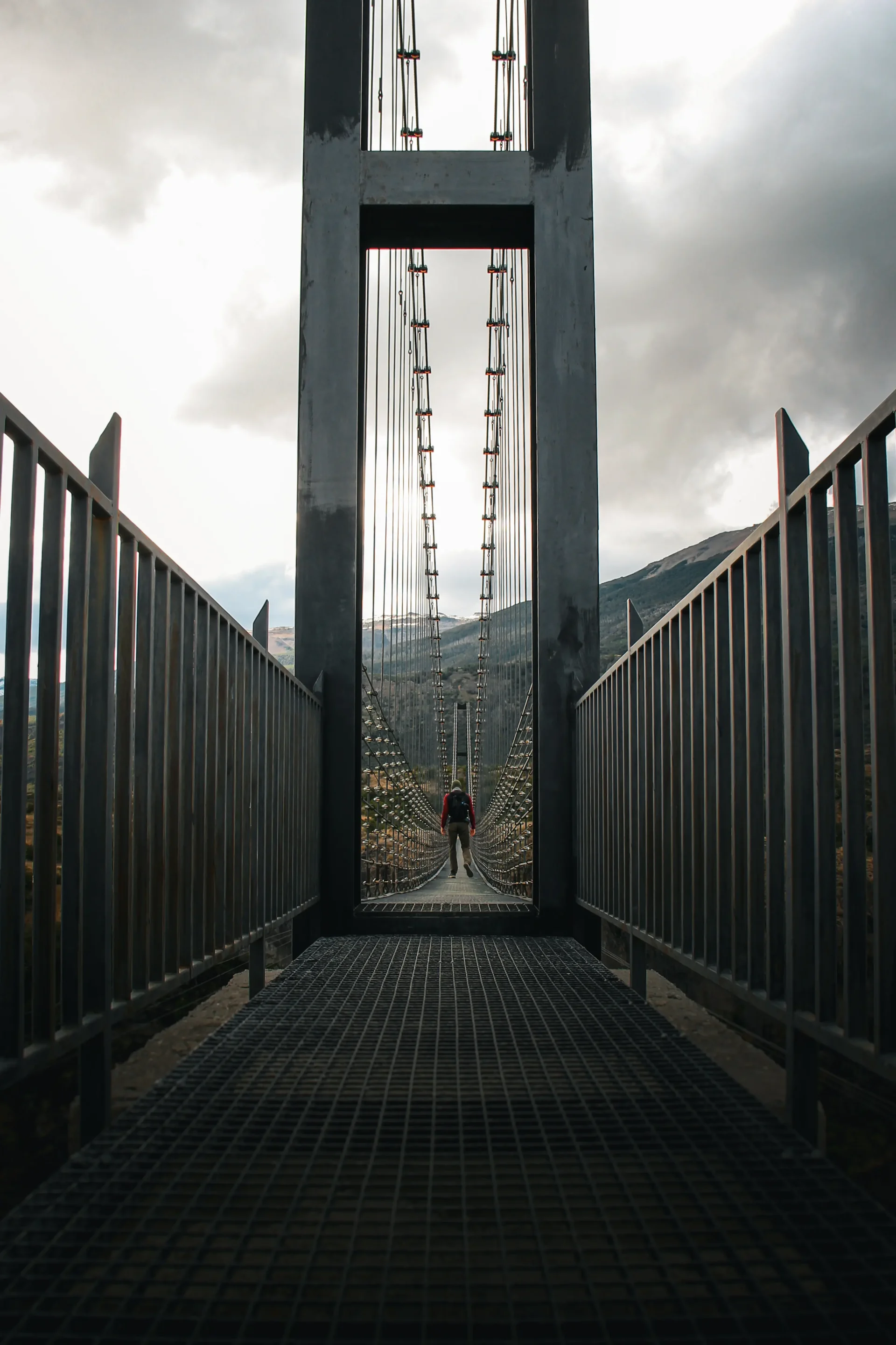
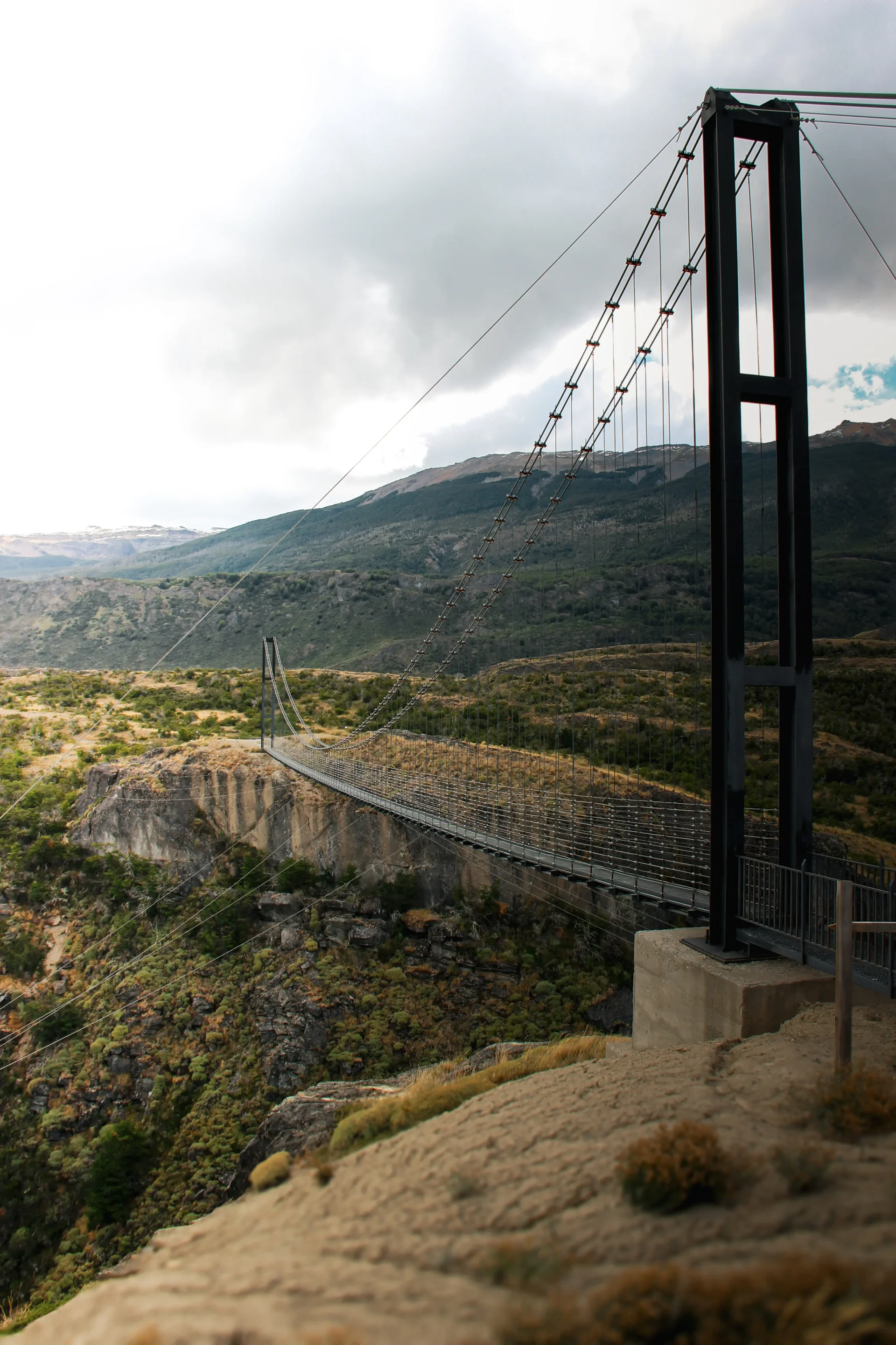
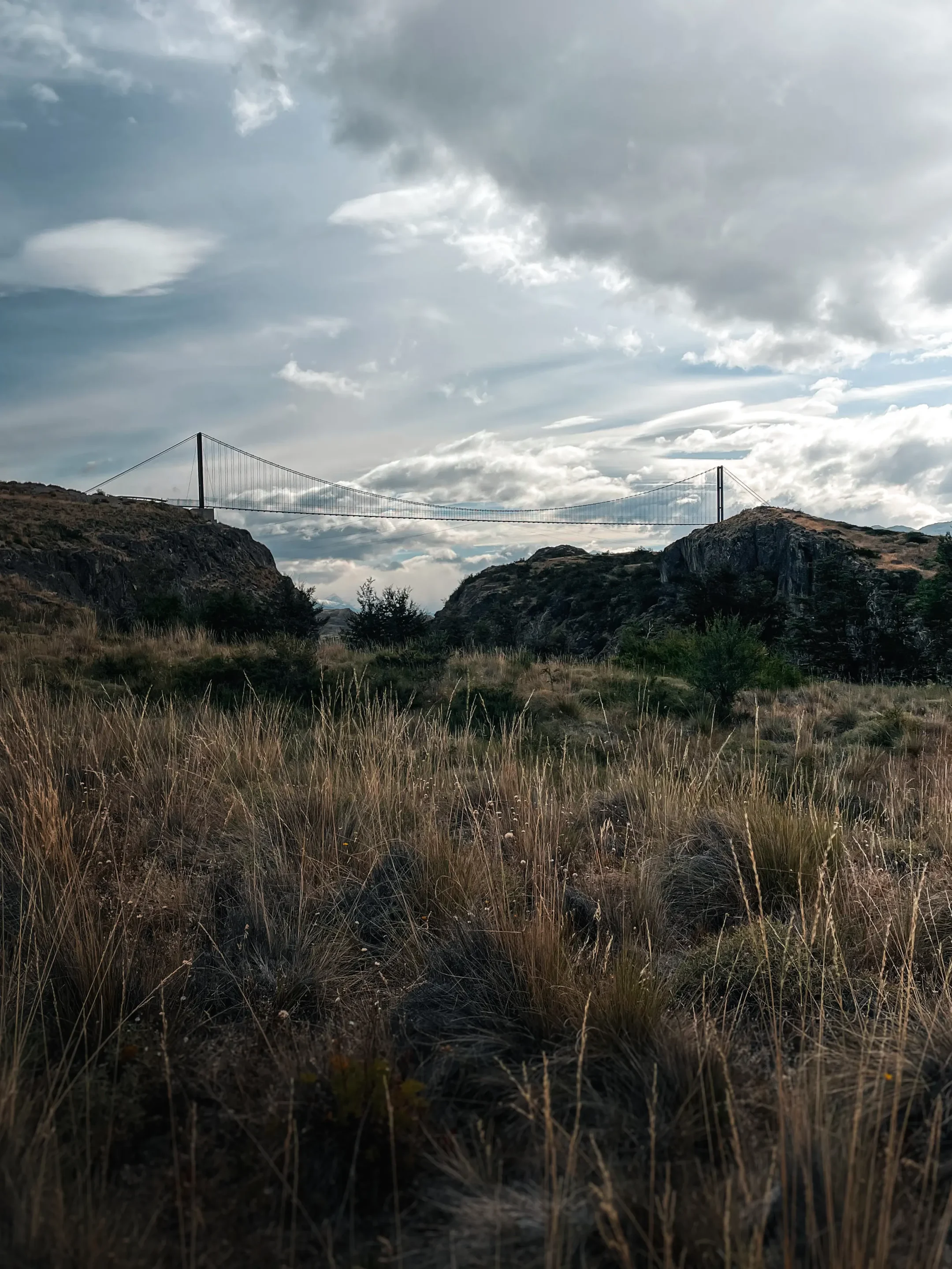
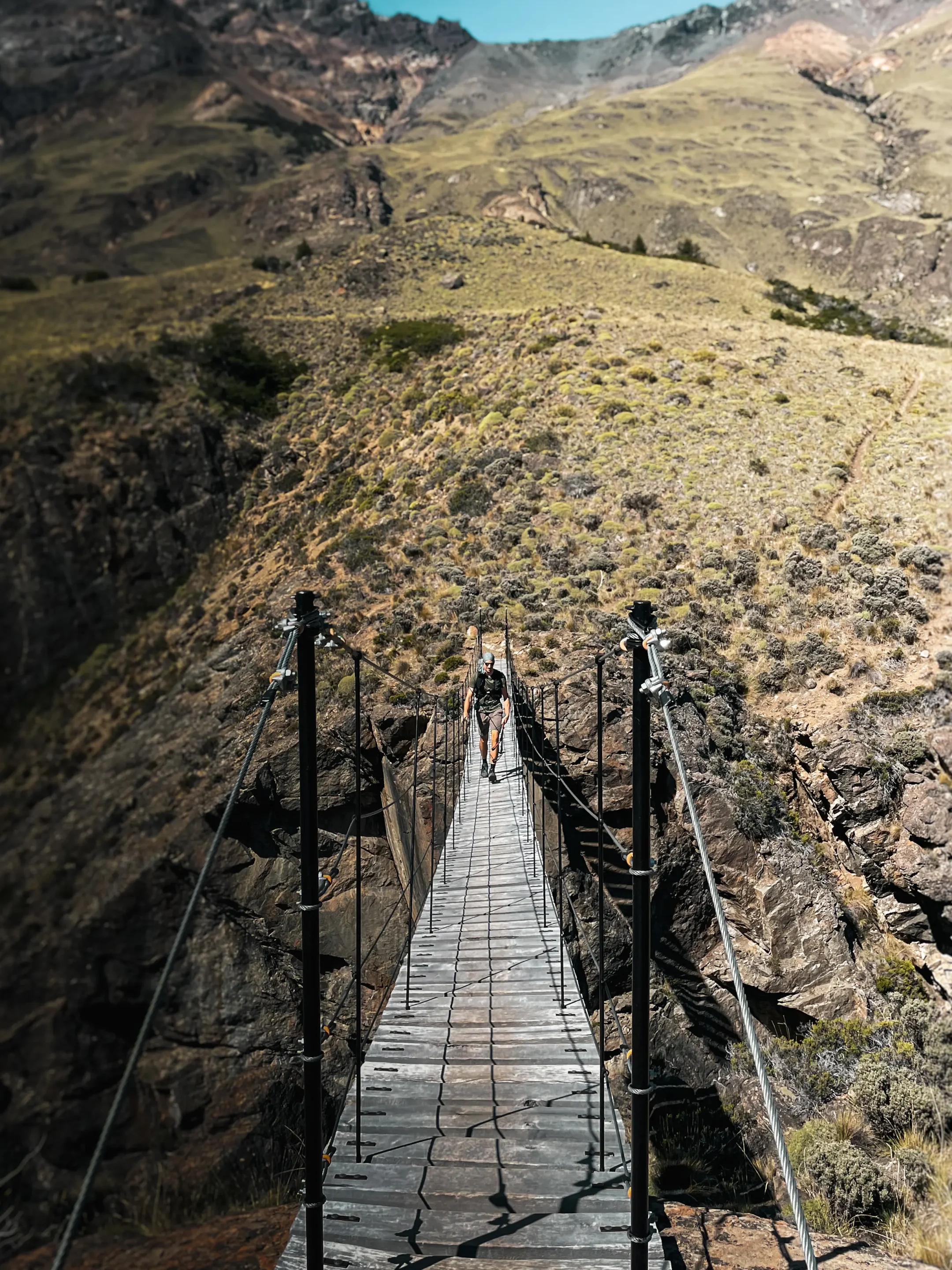
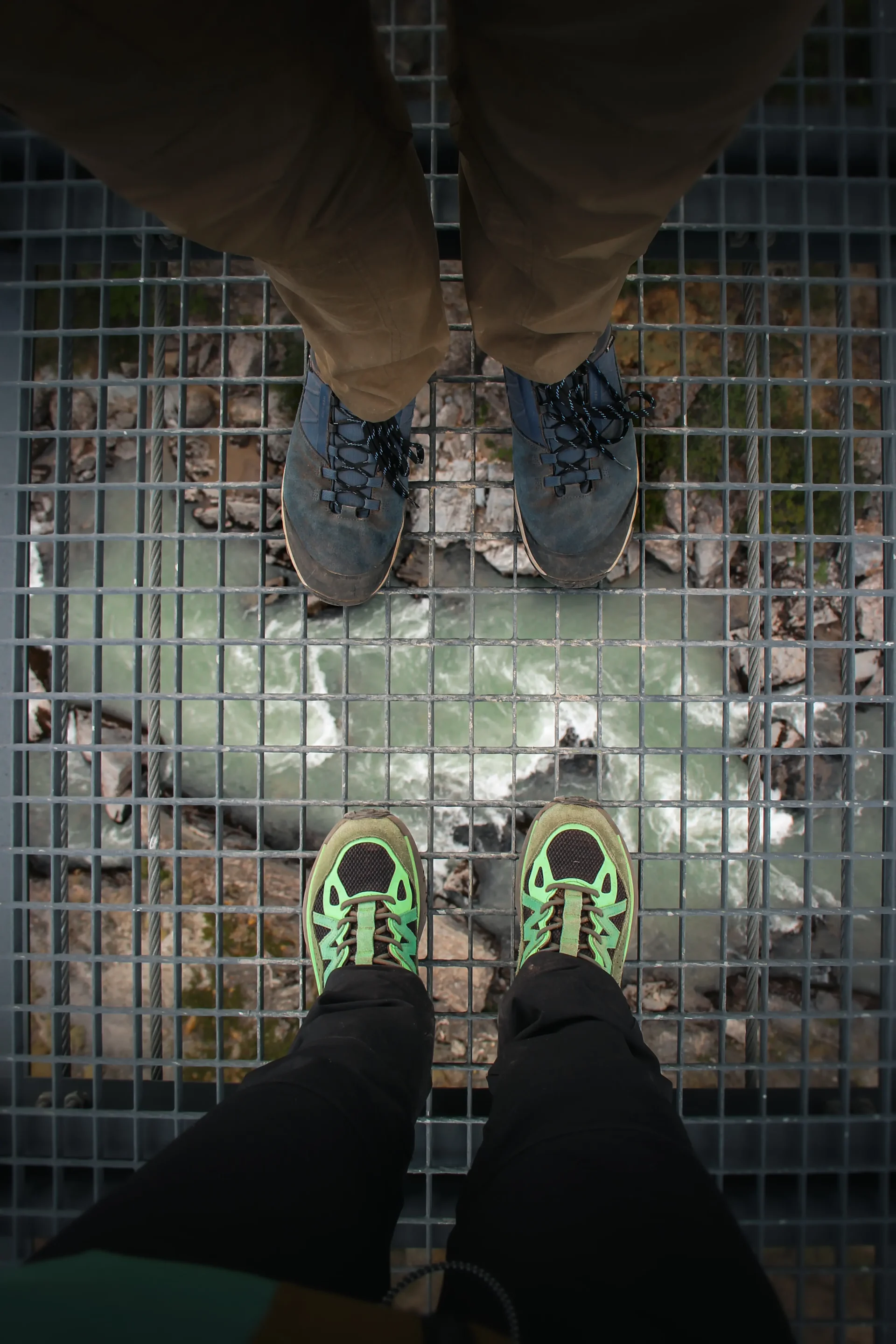
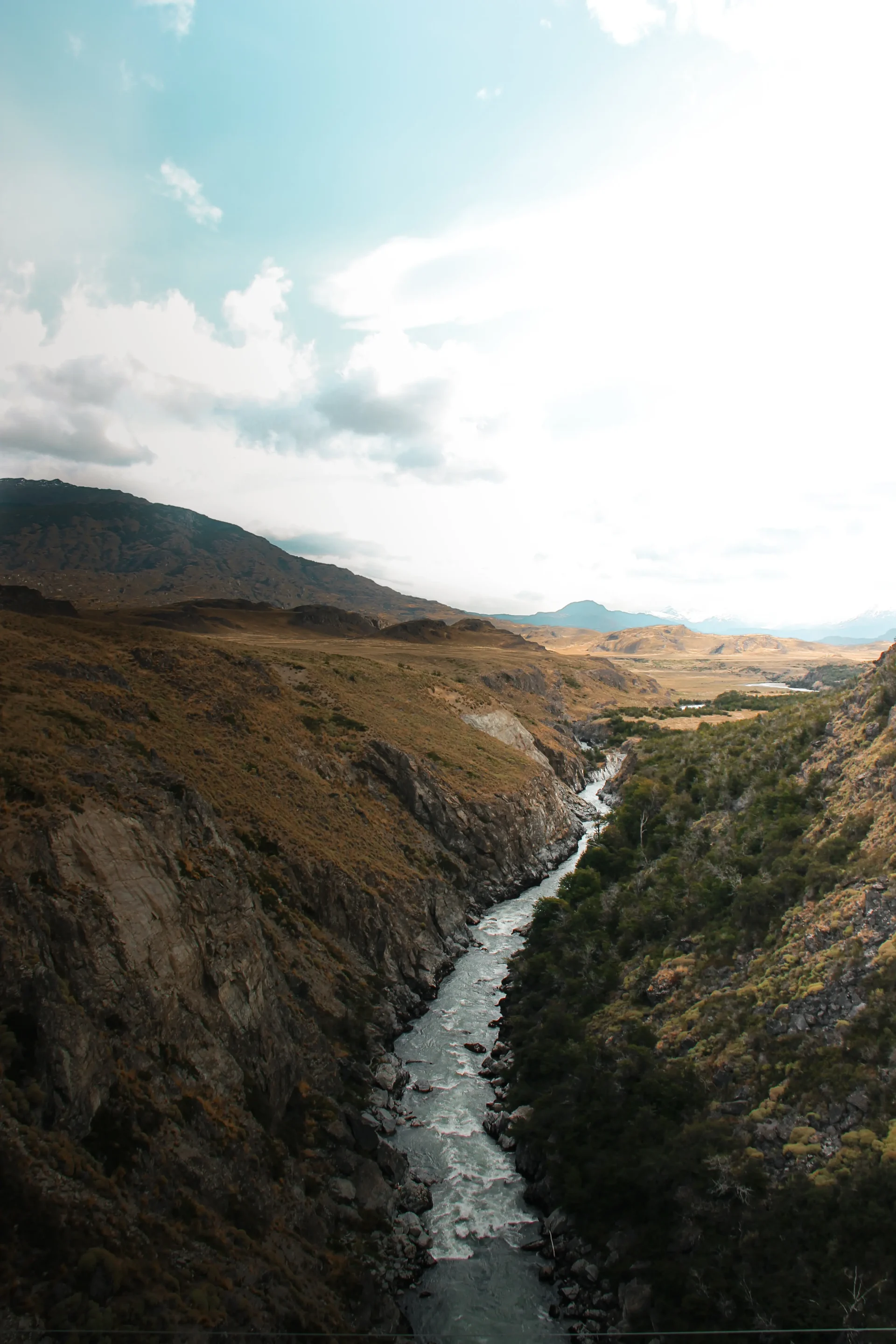
We discovered a suspension footbridge spanning the Río Chacabuco. Its vertical black steel architecture contrasted perfectly with the natural setting. As we crossed, our weight made the bridge sway. As we looked down, we could see the bottom of the canyon 30 meters beneath our feet.
Then we ventured deeper into the steppe. The trail narrowed. We spotted carcasses of guanacos. The work of a puma, perhaps? Captivated and frightened by the idea, we let our steps guide us along a ridge of rounded hills that opened out above Laguna Cisnes. We stoped to take in the calm landscape.
Despite the undeniable beauty of this hike, we advise against following our route, as we realized afterwards that it was closed. What’s more, the junction between the two trails was not marked, and we sometimes struggled to find our way. The two trails must be done individually.
Avilés Loop
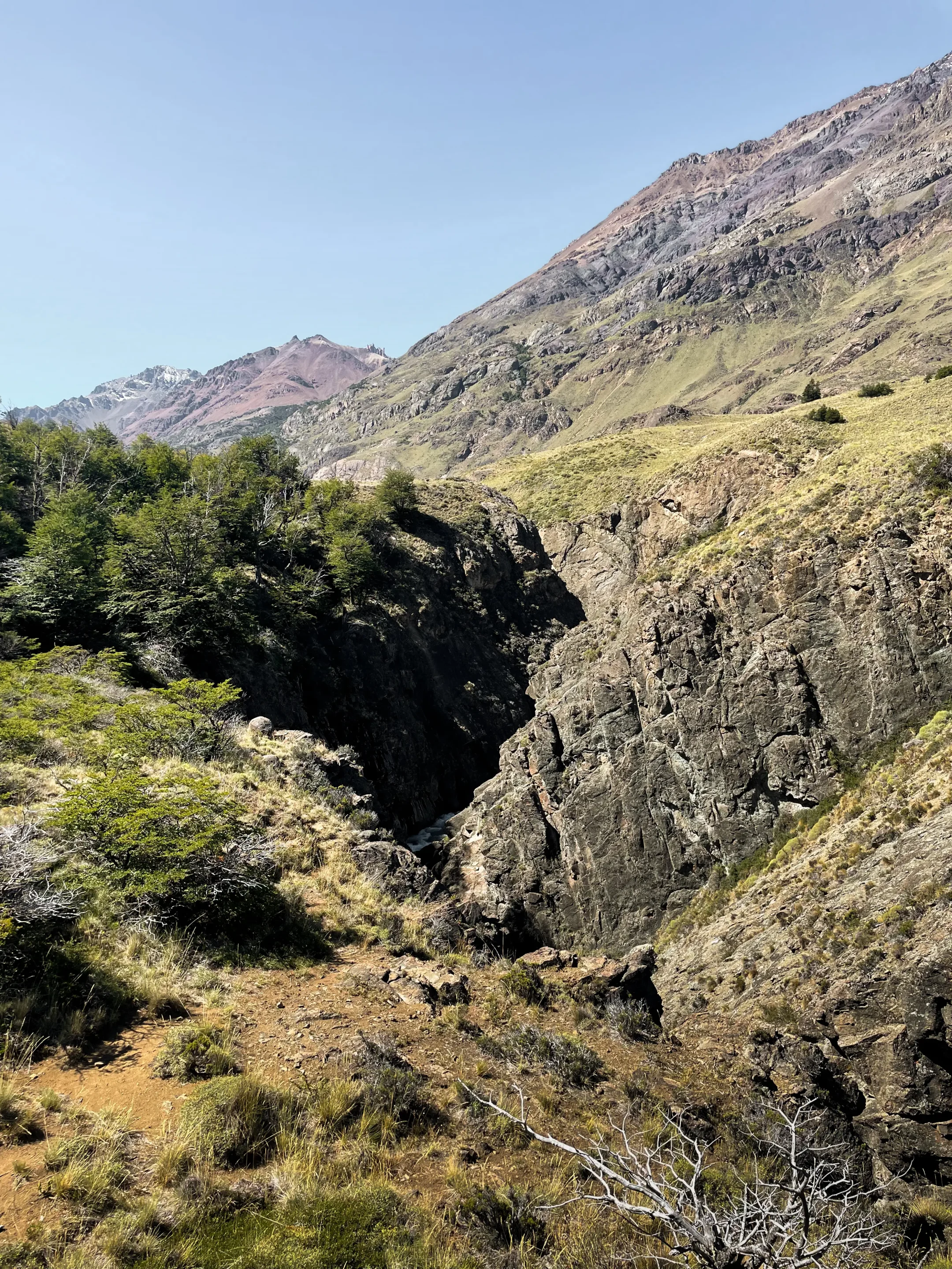
This loop starts from the Casa de Piedra campsite. It takes hikers on a circuit around the Río Avilés. The first part includes a fairly strenuous climb to the top of a hill. You then follow the river along the heights to reach a suspended footbridge and begin the return on the other side.
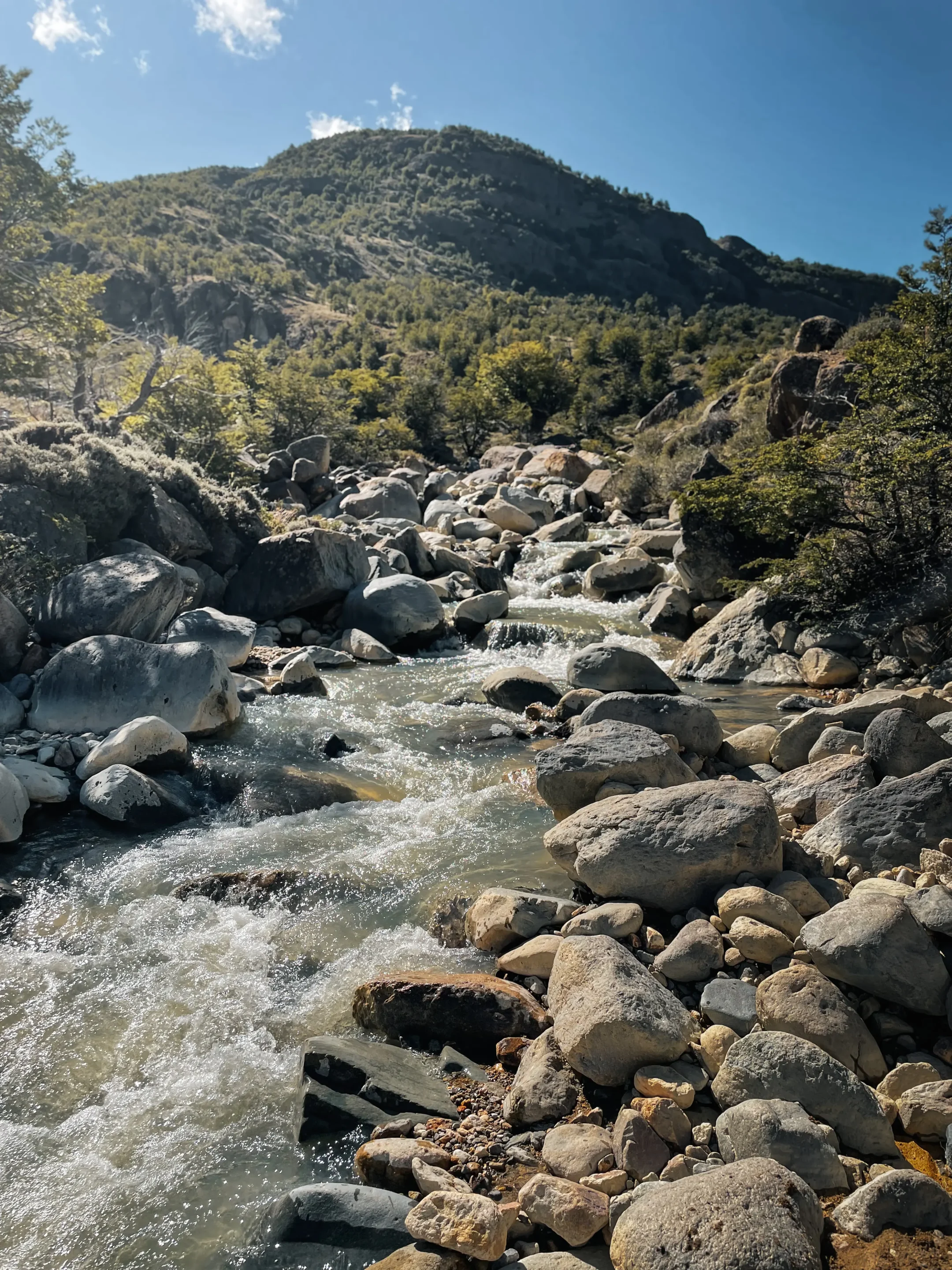
Halfway through, we were rewarded with a small confluence of the Río Avilés. Its cool water let us soak our feet, sore from walking. We then set off again and discovered a superb canyon carved over the years by the waters of the río. The hike ended on a small path through a flat valley toward the campsite.
Technical sheet:
- Hike name: Avilés Loop
- Distance: 10.3 miles
- Elevation: 642 m gain, 642 m loss
- Duration (excluding breaks): 4 h 24
- Difficulty: Moderate
- Starting point: trail starting from Camping Casa de Piedra
- Route: AllTrails track
- Parking: spaces in front of the campsite at Casa de Piedra
Wildlife: Can You See Pumas?
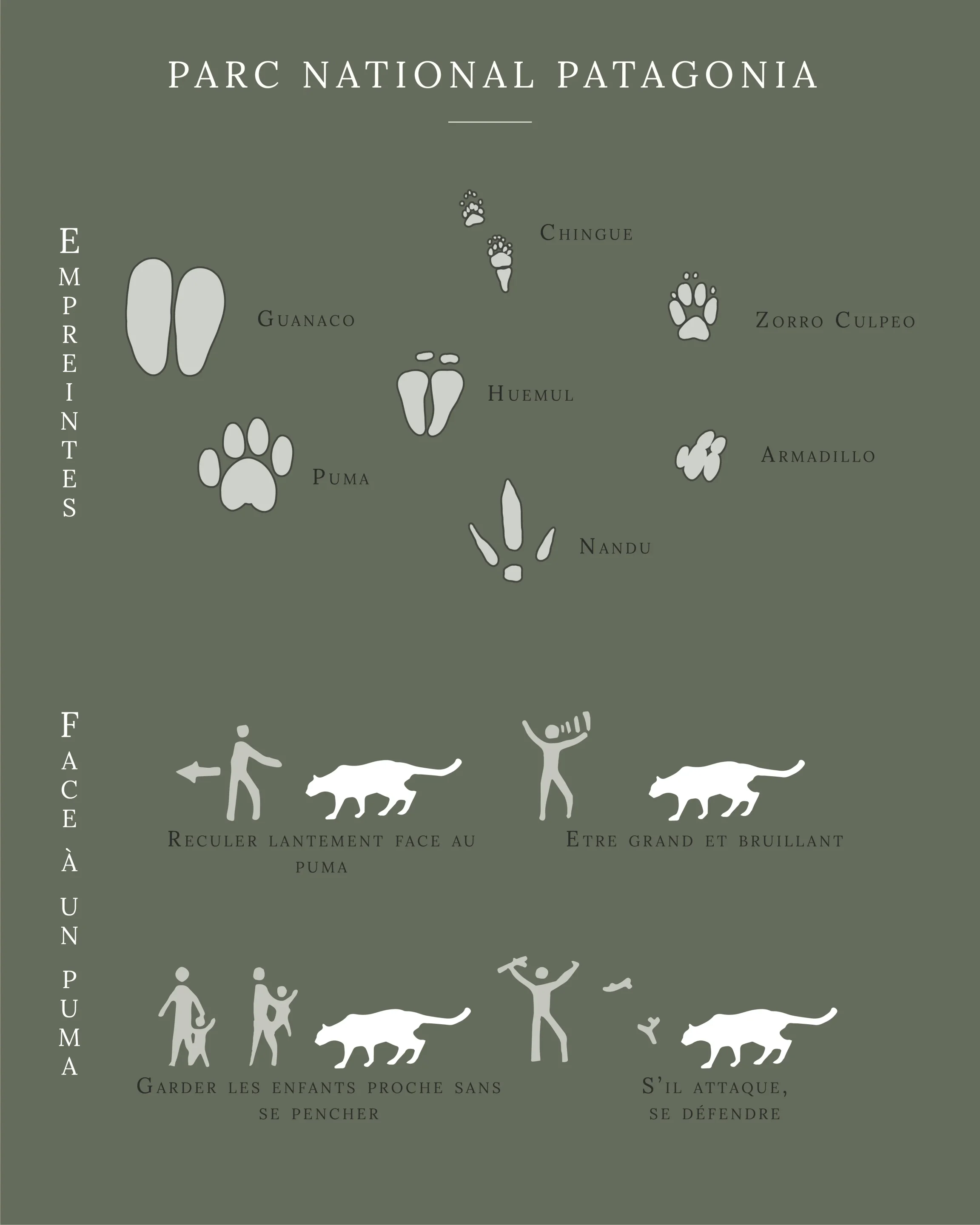
For several years, Rewilding Chile has been working to ensure that the park’s wildlife can thrive again. This involves protecting, and sometimes reintroducing, certain species. The information available on the website counts 33 pumas (in the Chacabuco sector), 150 huemul and 3,000 guanacos.
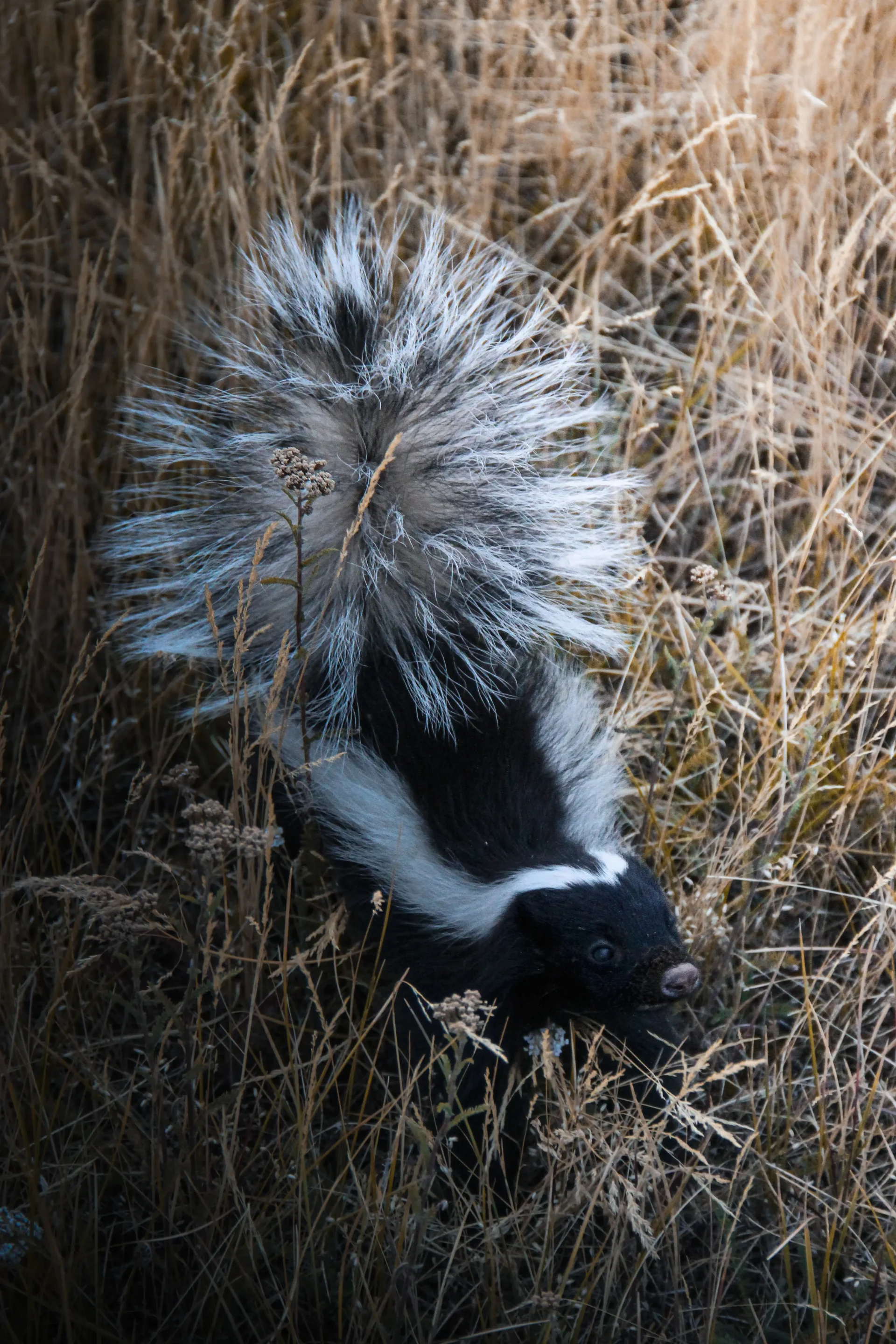
We had the chance to spot a lot of guanacos and a not-so-shy skunk at the end of hiking day. The puma sadly stayed out of sight, even though we could see signs of its presence like carcasses or defecations.
Planning Your Stay: Groceries, Fuel and Cash
We filled up at the Copec gas station in Puerto Río Tranquilo. The town also has minimarkets and bakeries for stocking up. For bread, we highly recommend the bakery Panaderia y pasteleria Pia, which serves good bread and delicious sweet treats.
We also had the chance to buy food at a minimarket in Puerto Bertrand. Don’t expect a wide selection, but it can save the day before crossing the park.
As for cash, we used our card for all expenses inside the park: entrance fees, campsites, purchases at the shop. We still recommend always carrying some cash.
For travelers who need to resupply closer to the Chacabuco sector, or who don’t have a vehicle, Cochrane is the best alternative. About 10 miles from the west entrance, it has everything you need: gas stations, minimarkets and pharmacies. We didn’t go there, but the Sally Sees blog offers a complete guide of the town.
Visitor Center, Shop and Facilities
This is undoubtedly the park’s strongest point. The facilities are worthy of a great, renowned park, without the crowds you might expect. It made our stay very comfortable.
The visitor center and surroundings
The visitor center is the first place to go. It has a reception desk for checking in, and also the Tompkins Foundation museum, which raises public awareness of the importance of parks and gives very detailed information on climate change.
Near the visitor center, there is also a shop with a cafeteria and the restaurant of the Explora lodge. We tried the cafeteria and, although a bit pricey for our taste, we ate very well. The food is mainly sandwiches and salads.
The Explora lodge
This very luxurious lodge sits in the middle of the park, in an exceptional location. It has a spa and standard rooms or suites. However, it isn’t aimed at travelers on a tight budget like us, as a night costs more than US$1,000 (price shown on the website in October 2026).
Camping in the Park: Where to Sleep in a Van
Wild camping is prohibited in the Chacabuco sector. You are therefore required to sleep in the campsites found along the X-83. There are three campsites as described in below table. We did not book anything in advance and just showed up before spending the night.
| Name | Distance from the visitor center | Location | Description | Hikes |
|---|---|---|---|---|
| Camping West Winds | 1.6 mile | Google Maps coordinates | iOverlander link | Lagunas Altas, La Vega, Cañadón Chacabuco, Laguna Cisnes |
| Camping Casa de Piedra | 16 miles | Google Maps coordinates | iOverlander link | Avilés Loop |
| Camping Alto Valle | 24 miles | Google Maps coordinates | iOverlander link | Lago Chico |
We spent two nights at West Winds campsite and one night at Casa de Piedra. In both cases the showers were cold, so a little mental preparation was needed. We paid about $11 per night for two, for a total of $33 for three nights.
How Many Days Do You Need?
We stayed a total of 4 days and 3 nights in the park. In our opinion, that is the minimum to make the most out of it. The hikes are beautiful and don’t all start from the same place, so you need to allow enough time for walking and for moving between campsites.
Patagonia National Park Budget
Our total budget for this crossing, done in February 2026, breaks down as follows (we rounded the amounts):
- Food: $55
- Restaurant: $33
- Park entrance fees: $19
- Campsites: $33
- Fuel: $19
- Shopping (beanie and buff): $70
In total, $224 for two people over 4 days and 3 nights. Taking our shopping out, that's $158 and $20 per person and per day.
Best Time to Visit and Weather
We went in February and the weather was gloriously clear, although the nights were already starting to get cold (end of summer). The austral summer, from December to February, seems to be the best time to visit.
We therefore recommend packing clothes accordingly:
- Down jacket
- Waterproof jacket
- Hiking boots
- Hiking pants
- Buff and beanie
- Gloves
Crossing to Argentina via Paso Roballos
This was the final point of our stay: the border crossing into Argentina. This crossing is special because its remoteness means you must notify immigration in advance of your planned date of crossing. This is done through the website of the Chilean immigration police.
The purpose of this step is to obtain the salvoconducto, the essential document for being allowed to cross. We did this 4 business days before our crossing.
Where to Go Next on the Carretera Austral
A visit to Patagonia National Park fits ideally into a road trip along the Carretera Austral, the legendary road through Chilean Patagonia. Construction began in 1976, and the road now stretches for 770 miles. Puerto Montt marks the start of this long journey, which ends at Villa O’Higgins, where the road stops.
Before Patagonia National Park, our route along the Carretera Austral took us through the Cochamó Valley, Futaleufú and the Yelcho Glacier (Ventisquero Yelcho). After leaving the park, we crossed into Argentina via Paso Roballos.
FAQ
Do you need to book for Patagonia National Park?
We bought our tickets on site at the visitor center (February 10, 2026), but you can check availability and pay online on the Pases Parques Nacionales ticketing site. According to this site, the Chacabuco sector is closed on Mondays and open from 8:30 am to 6:00 pm.
How much does entry to Patagonia National Park cost?
Online, CLP 22,800 (≈ $24) for two foreigners (October 24, 2026). At the ticket desk, we paid CLP 16,600 (≈ $18) for two, with the national rate for one of us thanks to our RUT (February 2026).
Can you camp freely in the Chacabuco Sector?
No, wild camping is prohibited. The sector has three campsites (West Winds, Casa de Piedra and Alto Valle); we paid $11 per night for two, with toilets and (cold) showers.
Do you need a 4x4 to visit Patagonia National Park?
No. Our 2WD Toyota Hiace drove the track from Puerto Río Tranquilo and crossed the Chacabuco sector all the way to the border. Expect washboard: 60 miles in 4 to 5 hours from Puerto Río Tranquilo to the junction.
How many days should you plan?
At least 4 days and 3 nights in our opinion: the hikes don’t all start from the same place, and you also need to change campsites.
Which sector should you choose?
We only visited the Chacabuco sector, accessible via the west entrance on the X-83. It is the best equipped: toilets, showers, marked trails and accommodation. The park also includes the Jeinimeni and Tamango sectors.
Which hikes can you do in the Chacabuco sector?
We did Cañadón Chacabuco–Laguna Cisnes (10.8 miles, 502 m gain) and the Avilés loop (10.3 miles, 642 m gain). The table in the “Which hike should you choose?” section summarizes the six trails in the sector. Check with the visitor center about trail conditions: the loop between Cañadón and Laguna Cisnes was temporarily closed when we visited.
Can you see pumas in the park?
Rewilding Chile counts 33 pumas in the Chacabuco sector, but they are very elusive. We didn’t see any, but we did come across guanaco carcasses. We did, however, see many guanacos and a skunk.
Where can you fill up and buy groceries?
The park has neither a gas station nor a supermarket. We filled up in Puerto Río Tranquilo and bought a few supplies in Puerto Bertrand. The visitor center has a cafeteria.
Can you cross into Argentina through the park?
Yes, via Paso Roballos, at the far end of the Chacabuco sector. You must request a salvoconducto from the PDI before crossing.
0 Comments